Come share our slice of paradise

Category Archives: Cycling

West Coast Wilderness Trail – Lake Kaniere to Cowboy’s Paradise

Posted by Jan Roberts on November 08, 2021

So blessed to have the West Coast Wilderness Trail at our doorstep. At around 135kms, it can easily be broken into bite size (or is that bike size….) chunks. This means we can do same, same or mix it up a bit and do a different section depending on time, mood and yes even sometimes the weather.

Lake Kaniere West Coast with snow capped Southern Alps

Recently we had both time on our side and gorgeous weather so headed to Lake Kaniere to bike up the Arahura Valley to Cowboys Paradise, plus a little bit further to the swing-bridge and then back again.

West Coast Wilderness Trail Arahura Valley

The scenery at this end of the trail is nothing short of breathtaking with a Kodak moment around every corner. While I’m sure it is gorgeous and moody on a misty, cloudy day too, having the blue skies and sunshine, the scenery was just popping, as were our eyes at all the beautiful views surrounding us.

West Coast Wilderness Trail Arahura Valley Milltown Road

Arahura River views Milltown Road West Coast Wilderness Trail

The first section is on gravel road – called Milltown Road heading down into the valley plains and then following the beautiful blue waters of the Arahura River. Click to continue reading about our adventure on the West Coast Wilderness Trail Lake Kaniere to Cowboys Paradise


Cycling the Paparoa Track

Posted by Jan Roberts on August 17, 2021

We are so lucky to have the most recent Great Walk, The Paparoa Track as part of our big backyard. It is New Zealand’s first purpose built dual purpose hiking and cycling track. Just up the road at Punakaiki – an easy 20 minute drive and we’re parked up at the start of the trail, bikes unloaded and ready to go.

The trail is 55kms in length in total with most riding it from Blackball to Punakaiki. It is a well graded trail for the most part but is Grade 4 as is narrow in parts, has steep and long climbs and descents but the scenery is magnificient.

Continue reading Cycling the Paparoa Track


Checking out the New Kawatiri Coastal Trail

Posted by Jan Roberts on July 17, 2021

The Kawatiri Coastal Cycle trail is a trail currently going from the Buller bridge at Westport to just past Carters Beach. A trust was set up and a passionate group of volunteers applied for funding to make this dream come true. There has been great buy-in by the community and the end result is a proposed trail running from Westport to Charleston, eventually some 55kms long.

Kawatiri coastal trail westport through mural underpass

With a recent trip north to the Buller region we thought it was time we checked out the progress of the cycle trail so far. I say cycle trail but it can be walked (or run!) too. It is classed as grade 2 – a lovely family friendly, even gravel surface initially following the Buller River before it reaches Carters beach and then heads along the coast towards Cape Foulwind.

Kawatiri coastal trail along the river and paddocks westport

Kawatiri coastal trail through the scrub and bush

More of the trail is currently being worked on through to Cape Foulwind and on to Tauranga Bay but as there is machinery and workman still working the trail they haven’t opened that section up yet.

kawatiri coastal trail through the native bush along the boardwalks

Kawatiri coastal trail along the boardwalks through native bush

It has been quite the undertaking and no shortcuts taken in the quality of the trail. Nice and wide making for easy passing for two way “traffic” and the boardwalks through the native bush sections protecting the wetland and waterways are seriously second to none.

kawatiri coastal trail past meeting house and farm paddocks

Kawatiri coastal trail through the farmland

There are information boards and interpretation panels strategically positioned along the way pointing out the fascinating history of early Maori and European settlers and other notes of interest. It is always fascinating stopping and reading these boards and learning more of the history of the region. Through the bush sections there are tags pointing out the various flora and their significance to being found in the area.

kawatiri coastal drive and swingbridge over Martins Creek

Kawatiri coastal trail through carters beach domain

So far the trail is in its infancy with what is known as the Pūwaha section open Westport to Carters Beach. That alone is a wonderful diverse ecology and views so I can only imagine what the rest of this trail is eventually going to be like.

kawatiri coastal trail along the buller river

Well done to all involved – the spirit of the West Coast is alive and well in Buller, West Coast.

Kawatiri coastal trail Buller bridge Westport

The Kawatiri Coastal Trail needs donations to help support the maintenance and ongoing operations. The Trust welcomes donations to ensure this incredible community asset moves forward, giving enjoyment and health benefits to all that use it.

Jan and Stephen run Breakers Boutique Accommodation on the West Coast north of Greymouth.  They have a passion for exploring the region and sharing their backyard with visitors to the West Coast.


Grey District, Heart of the West Coast - 5 short walks

Posted by Jan Roberts on July 04, 2020

The Grey District is known as the Heart of the West Coast.  An easy 2 hour drive south to the glacier region and to the north we have Buller with The Great Coast Road, numerous beaches and gorgeous bush walks.

Possibly the best thing about getting out and doing a bush walk is they are free, all you need is time.  Remember the golden rule though – take only photographs, leave only footprints.

This little blog is to showcase some of our bush walks and we’ve put together a little piece of five of our favourite.  Now these are in no particular order.  Each time we visit these areas we say “this is our favourite walk” – until we visit the next spot again and then  it is our favourite walk. They all have something different to offer be it just beautiful scenery, peace and tranquility, birdlife or history.

So first up:

Brunner Mine Site

Located on the banks of the Grey River accessible from either side – Dobson or Taylorville. Brunner Mine site is a most fascinating piece of not just West Coast history but New Zealand history.  It is the site of NZ’s worst industrial disaster, back in 1886 when 65 men/boys tragically lost their lives in a coal mine explosion.

Learn more about Grey District, Heart of the West Coast - 5 short walks


Virtual Mystery Tour West Coast - Grey District, Heart of the West Coast

Posted by Jan Roberts on May 10, 2020

Well it seems an apt time to showcase our own Grey District – heart of the West Coast.  A great place to base yourself to explore north and south – east and west, no not west, you’ll be in Australia.  Come on!

I can vouch for it being a great place to base yourself for exploring the West Coast – well yes mainly because we live here but we do all our exploring from here so just goes to show how easy it is….. no bias in that statement at all.

The Grey District has everything – it is the gateway to the Great Coast Road, named one of the top ten coastal drives in the world by Lonely Planet and worth a visit on its own.  

Learn more of the Grey District, Heart of the West Coast


Rarotonga - From one Island Paradise to Another

Posted by Jan Roberts on August 20, 2017

There is a recurring theme from many of our guests at Breakers Boutique Accommodation when I ask them how long is their holiday – three weeks, four weeks, even six weeks in NZ but finishing with a few days on a Pacific Island, predominately Rarotonga.  Well say no more – for us this is a no brainer, we have to check it out and make sure it is the right thing to do…… it’s a hard job but really someone had to do it……

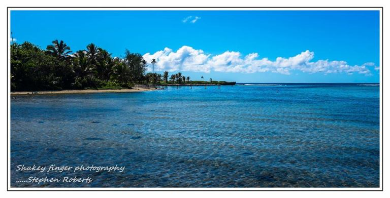
Flying in we get an immediate sense this was the right thing to do.  You can see the whole island from the plane window at only 32 kilometres round and surrounded by crystal clear lagoon waters with the reef protecting it from the crashing waves from the sea.  Oh this is going to be bliss.

Now your trip to Raro can be as relaxing or active as you like.  Best thing is you don’t need to pack much.  Remember though it is an island with towering mountains in the middle so you can expect rain and in fact should expect rain at some stage.  You may not get any but I like to work with the rule of thumb – have a rain jacket and you won’t need it, don’t take one and it will rain.

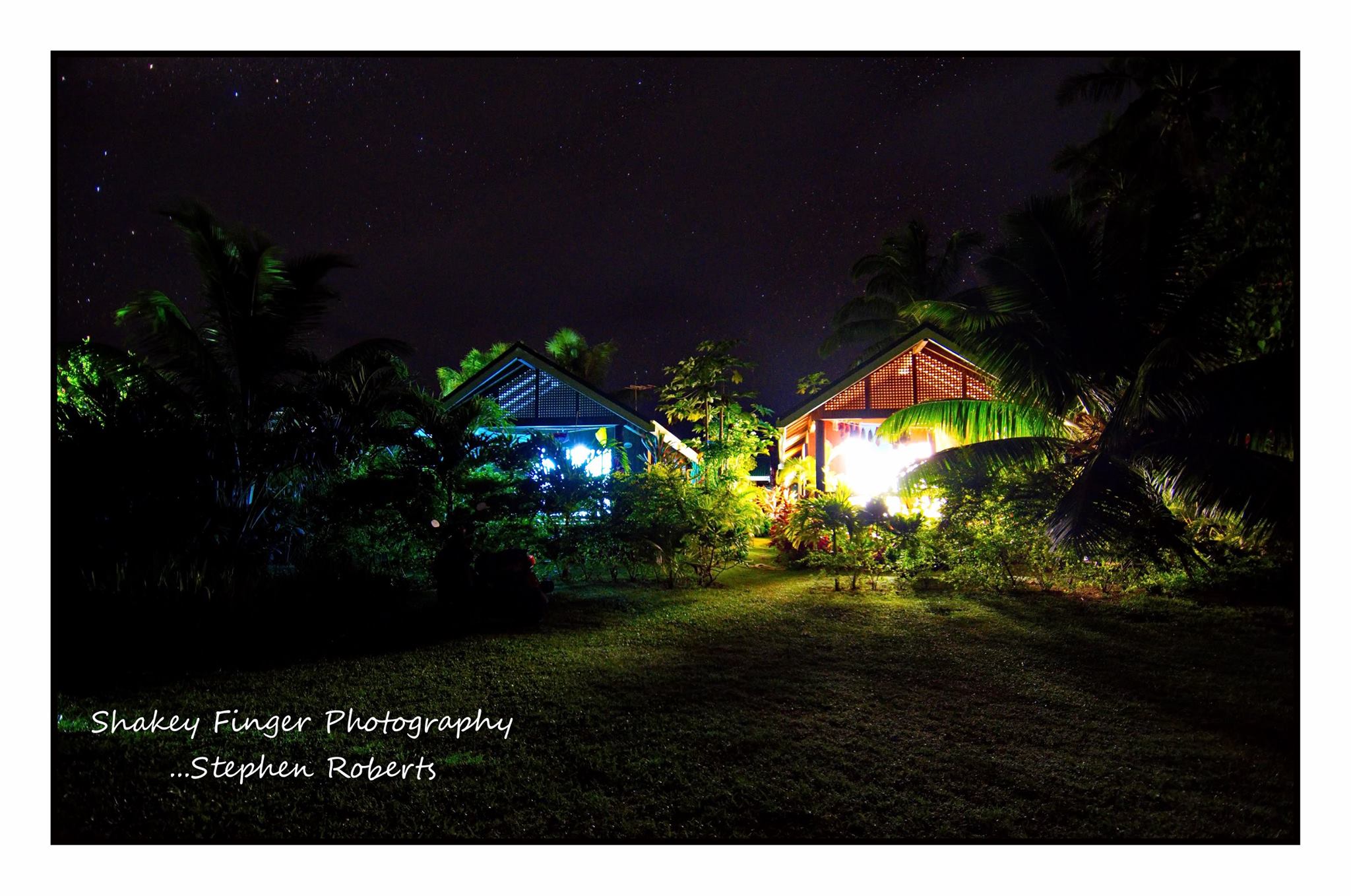
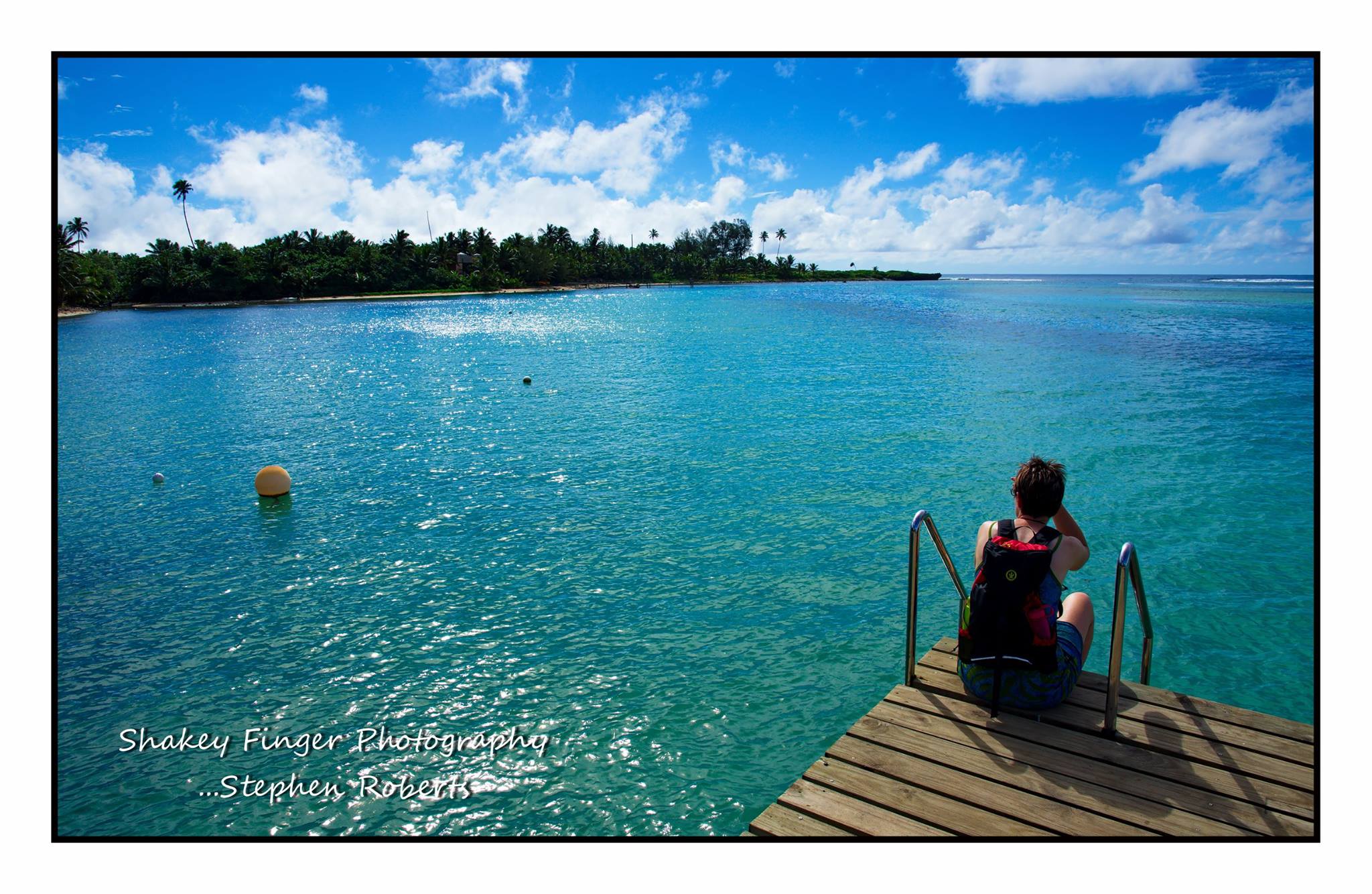
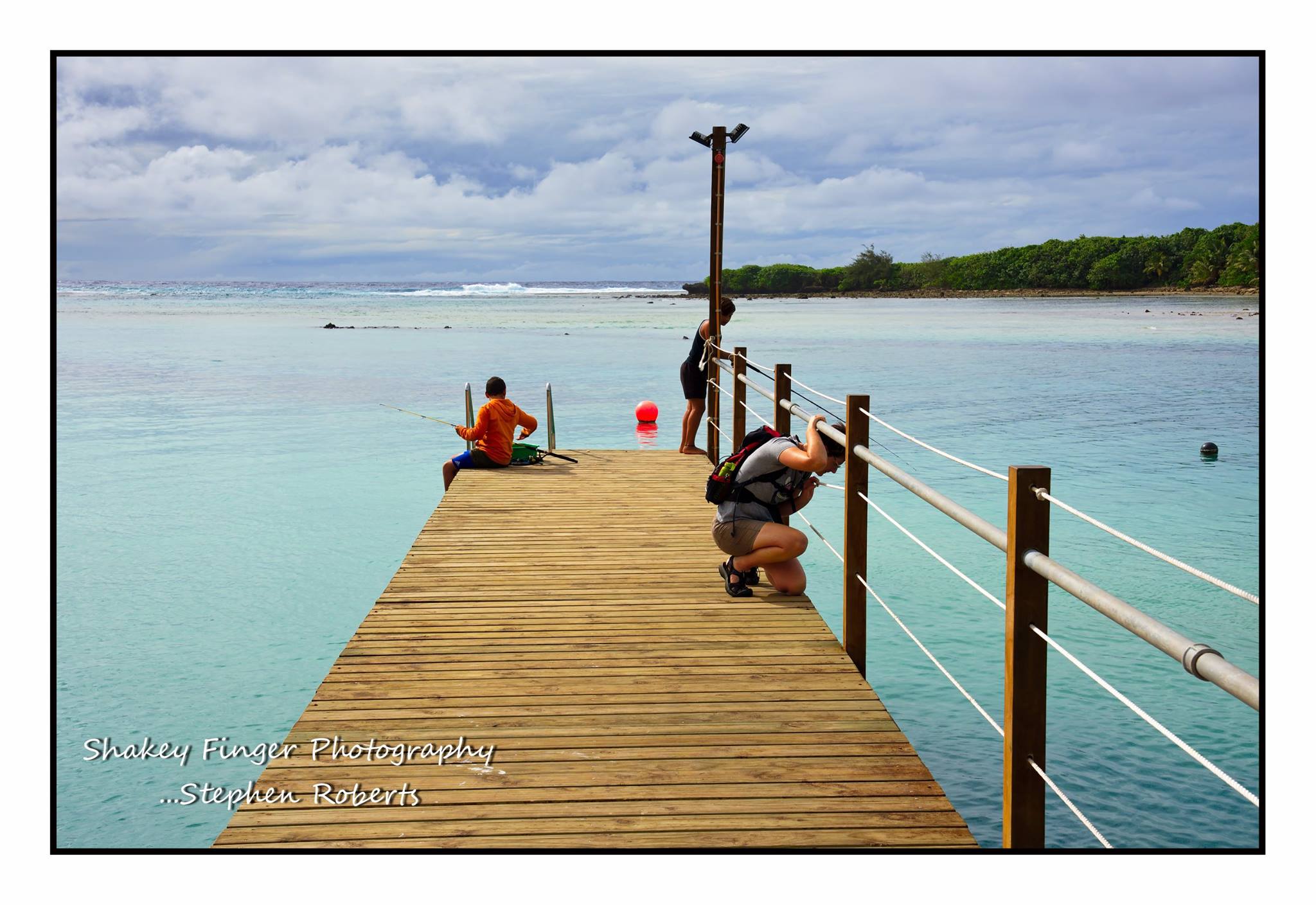
This is our third visit to Rarotonga so we know our way around pretty well.  We like to be self-sufficient and book our accommodation through Rentraro.  They have properties all over the island that they manage and there is something for everyone and every budget.  This trip we chose a little one room bungalow – called Lyas on the South side of the island in Titikaveka and the sub-village of Tikioki.  This area has possible the best beach for swimming and is a renown snorkeling area – well just along the road anyway.  We made a point of lazing in the waters every morning and every evening.  A great way to start and finish our day.

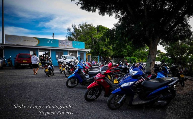
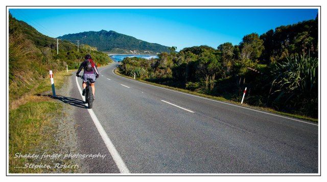
One thing we have noticed during our visit to Raro is an increase in tourist population – this meaning an increase in vehicles on the road.  The first year we came it was predominately scooters – the favoured choice of transport for the locals and used to be for visitors too.  Unfortunately there are now numerous car hire options – can’t say I’m a fan and don’t think it is necessary.  Part of the appeal of the island is riding around on your scooter – with a speed limit of 30kms and 50kms you don’t really need a car to get anywhere.  That would be my main recommendation – hire a scooter, be like a local.  They are super cheap to rent and the price of petrol is bordering on ridiculous.  Think it cost us $5.00 to fill ours.

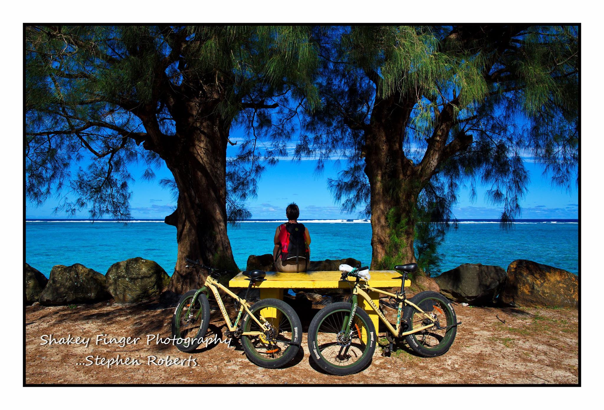
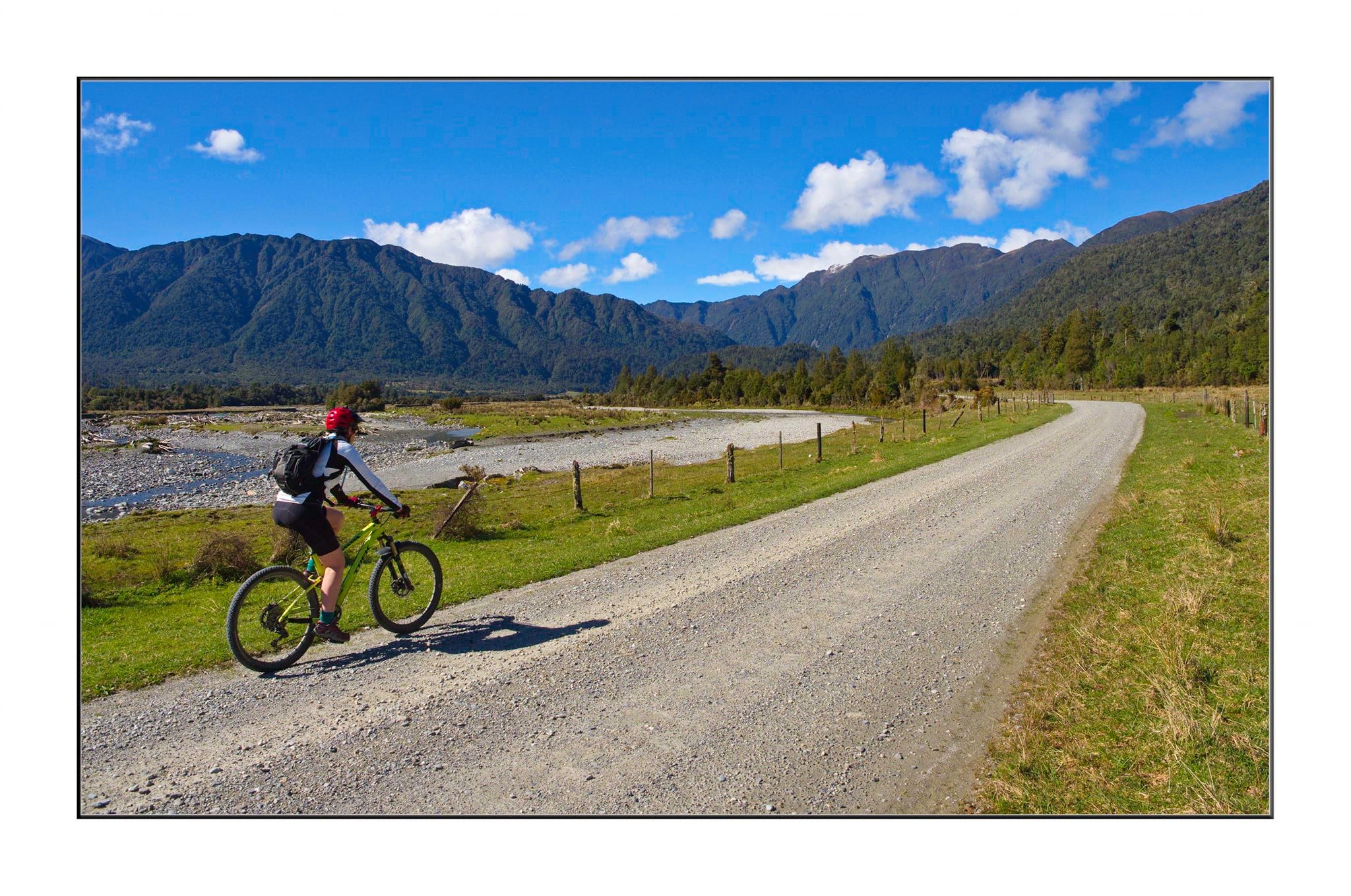
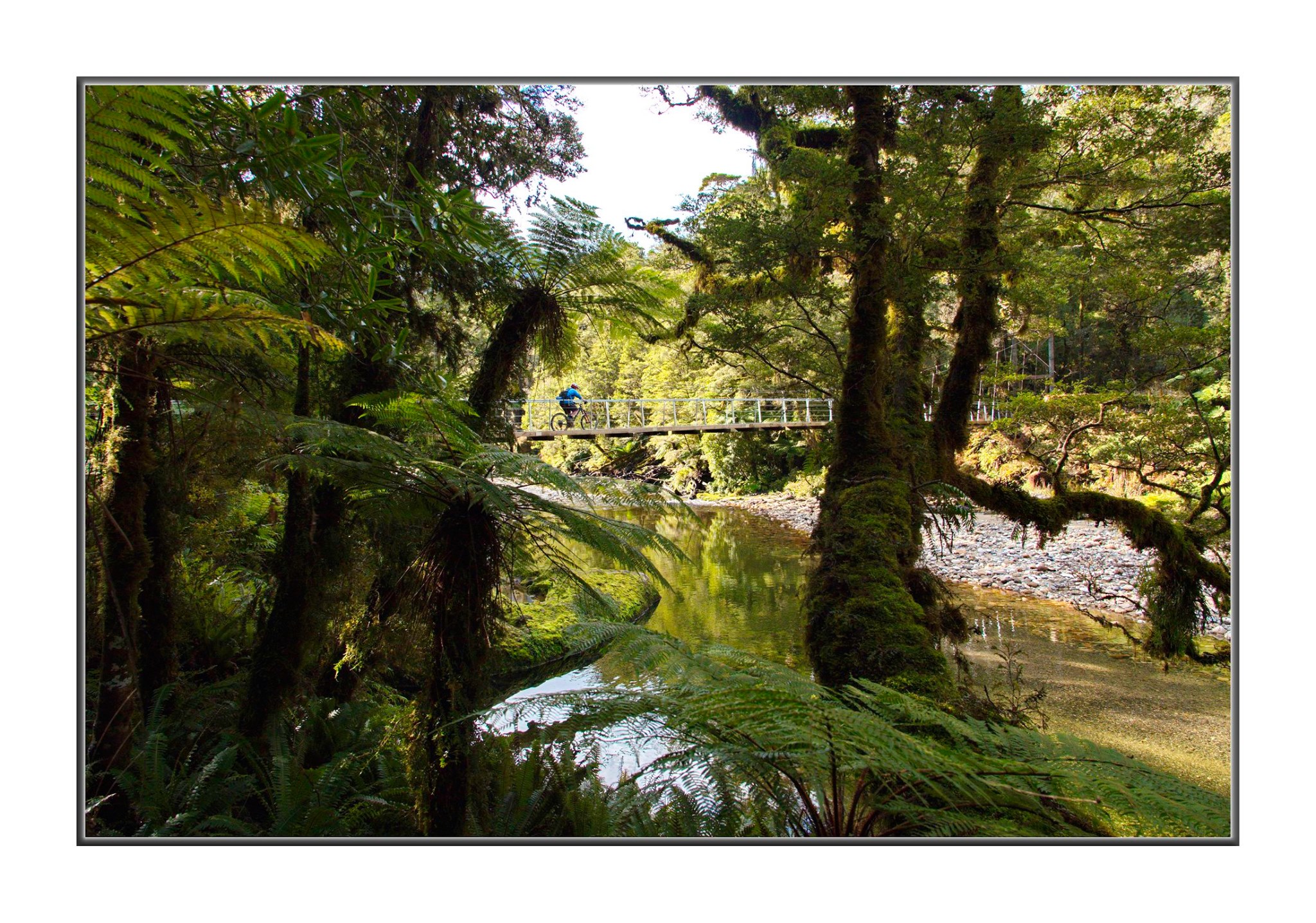
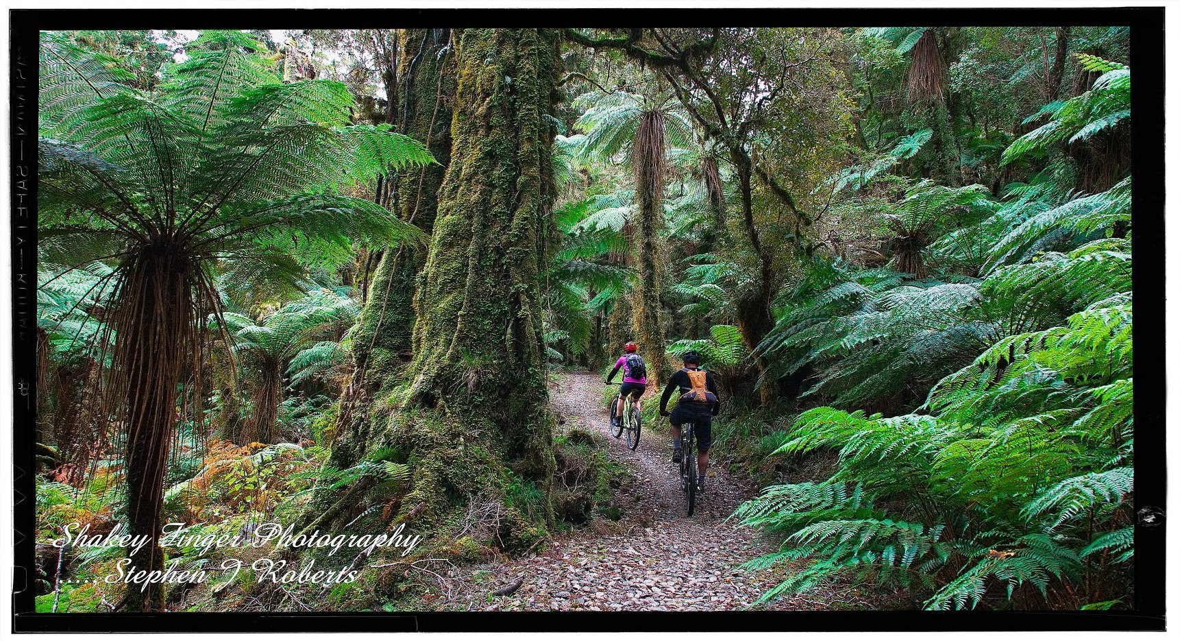
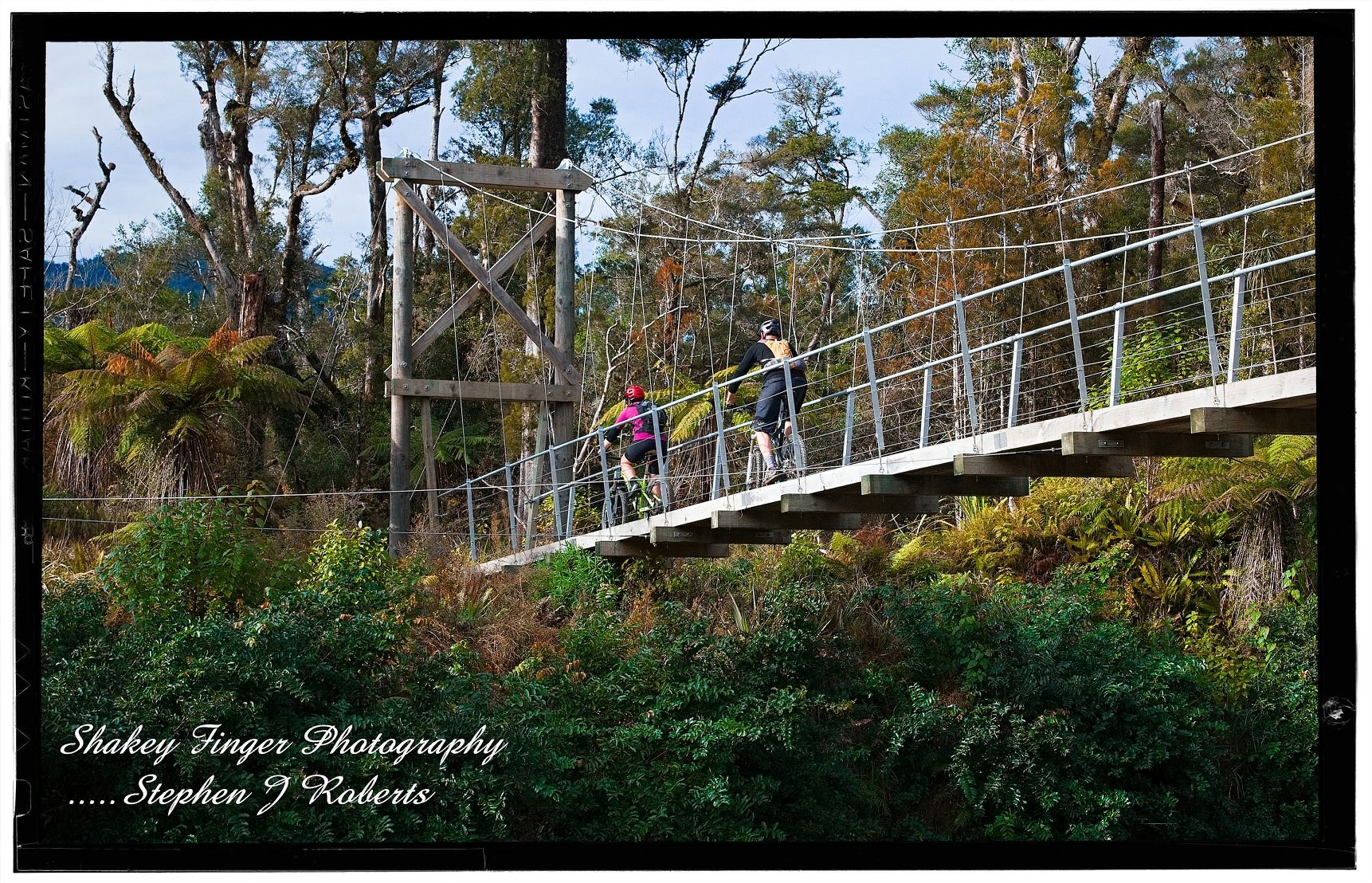
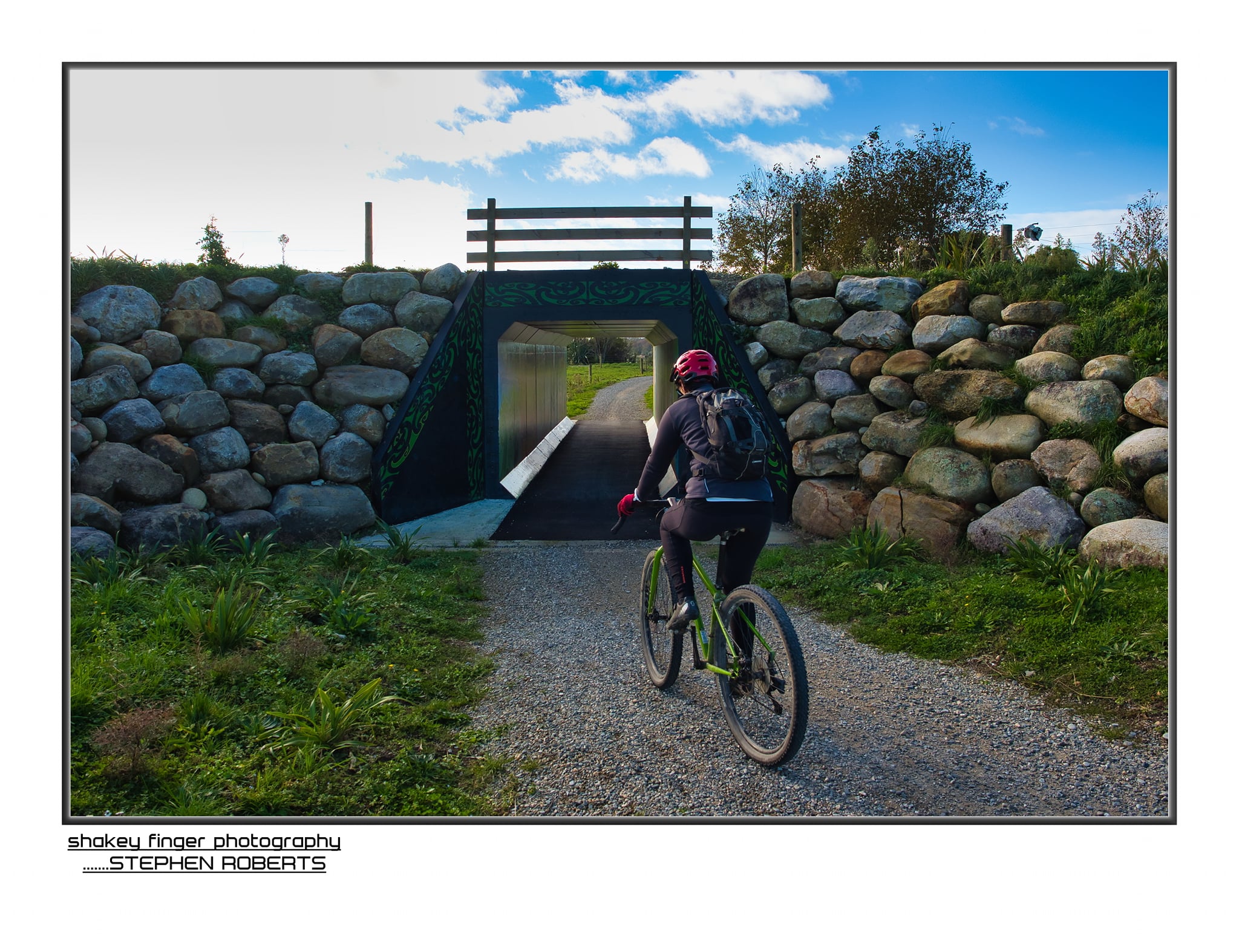
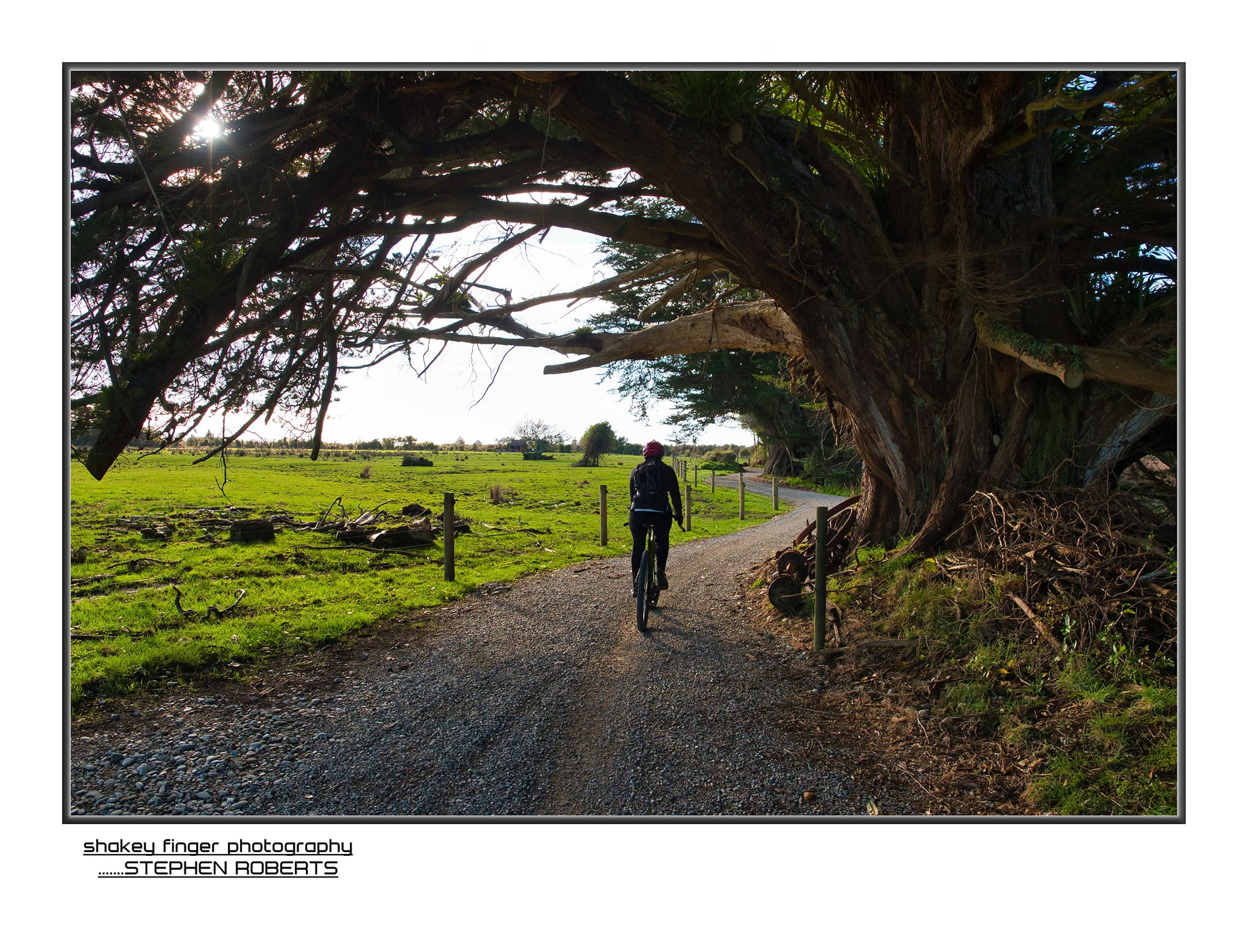
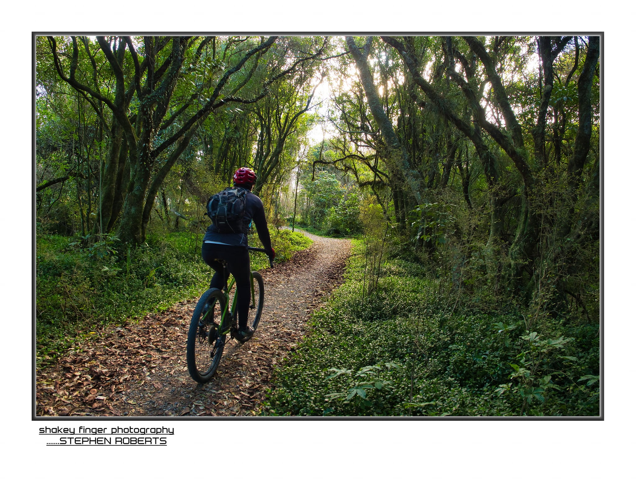
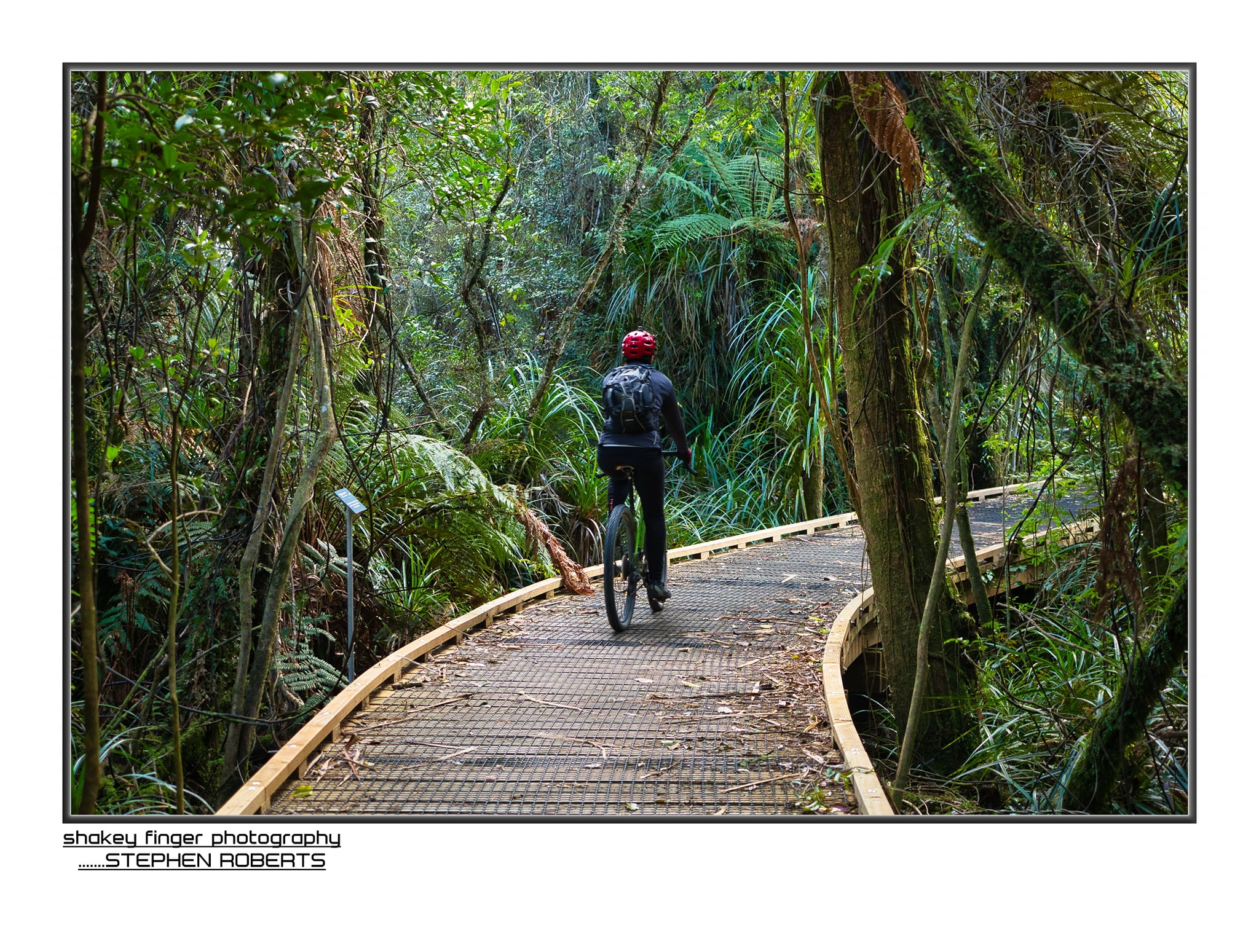
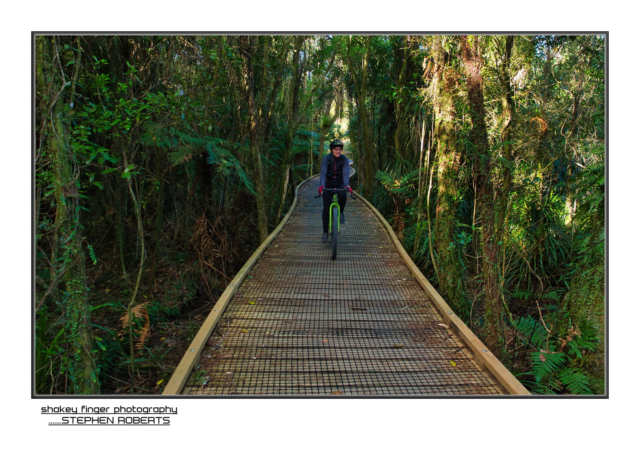
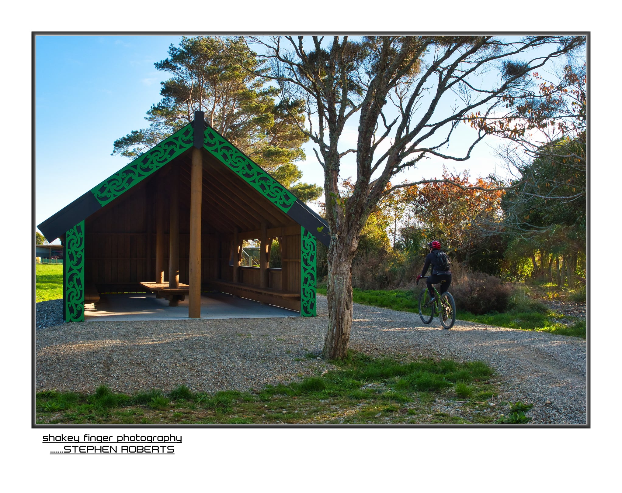
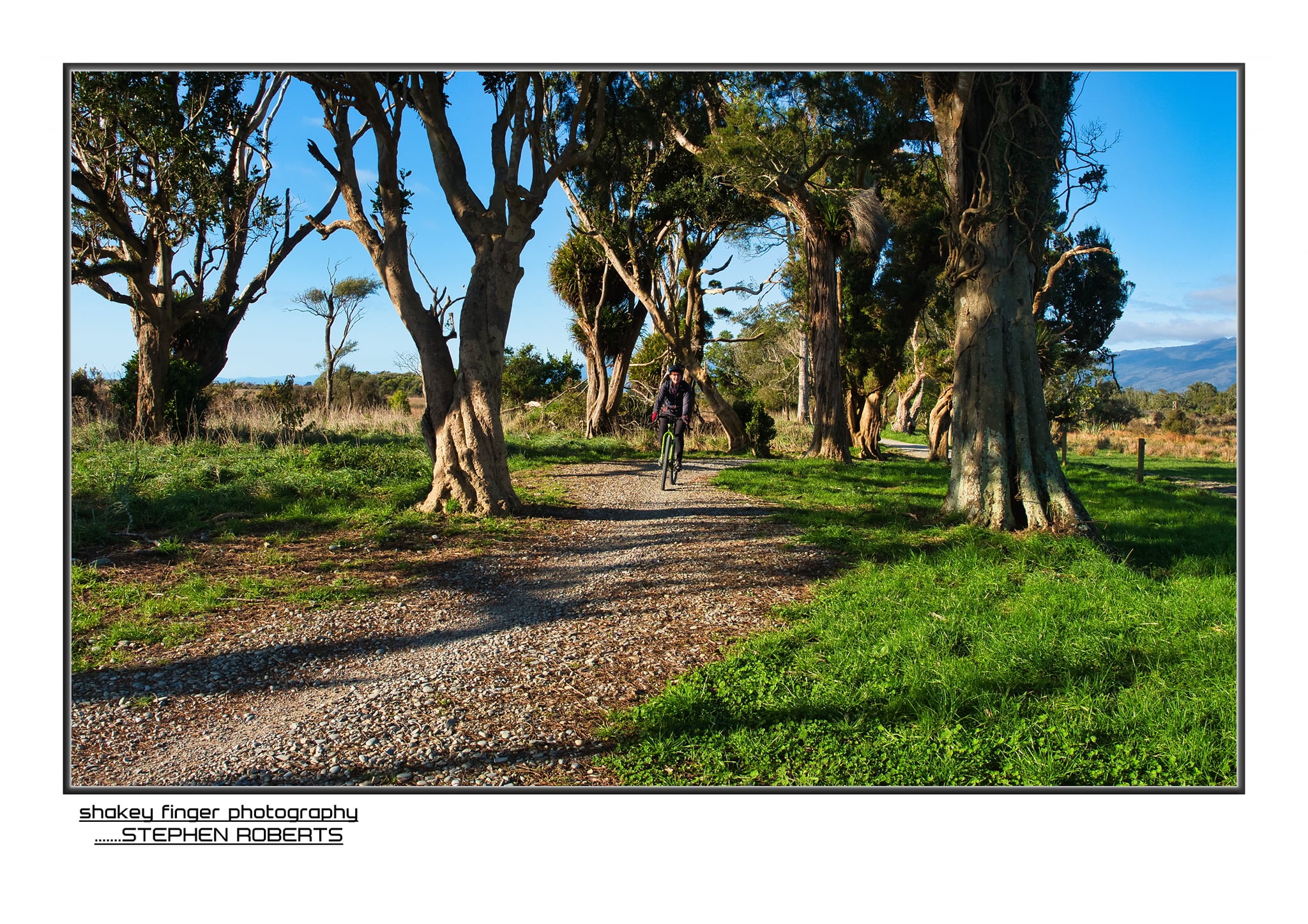
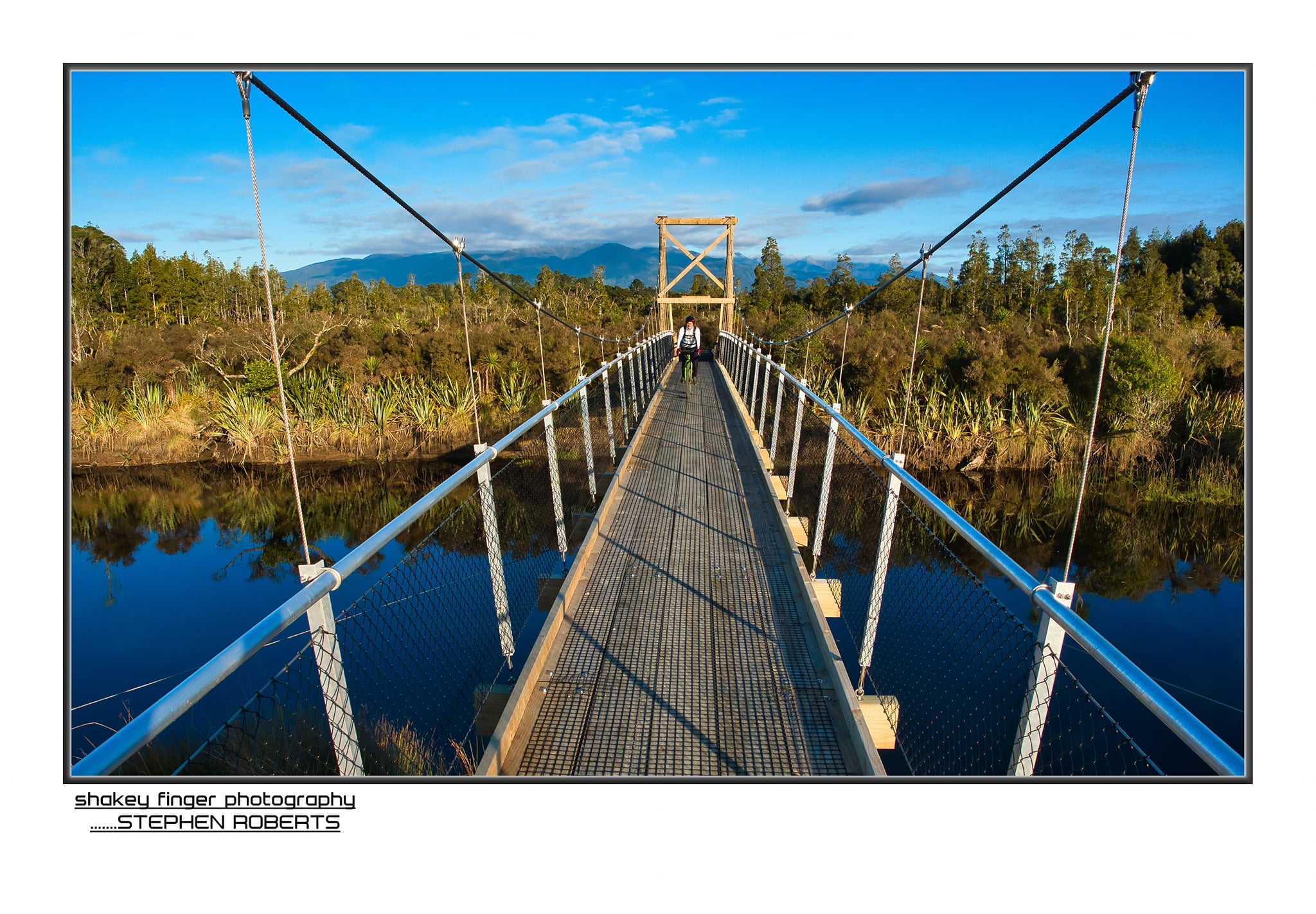
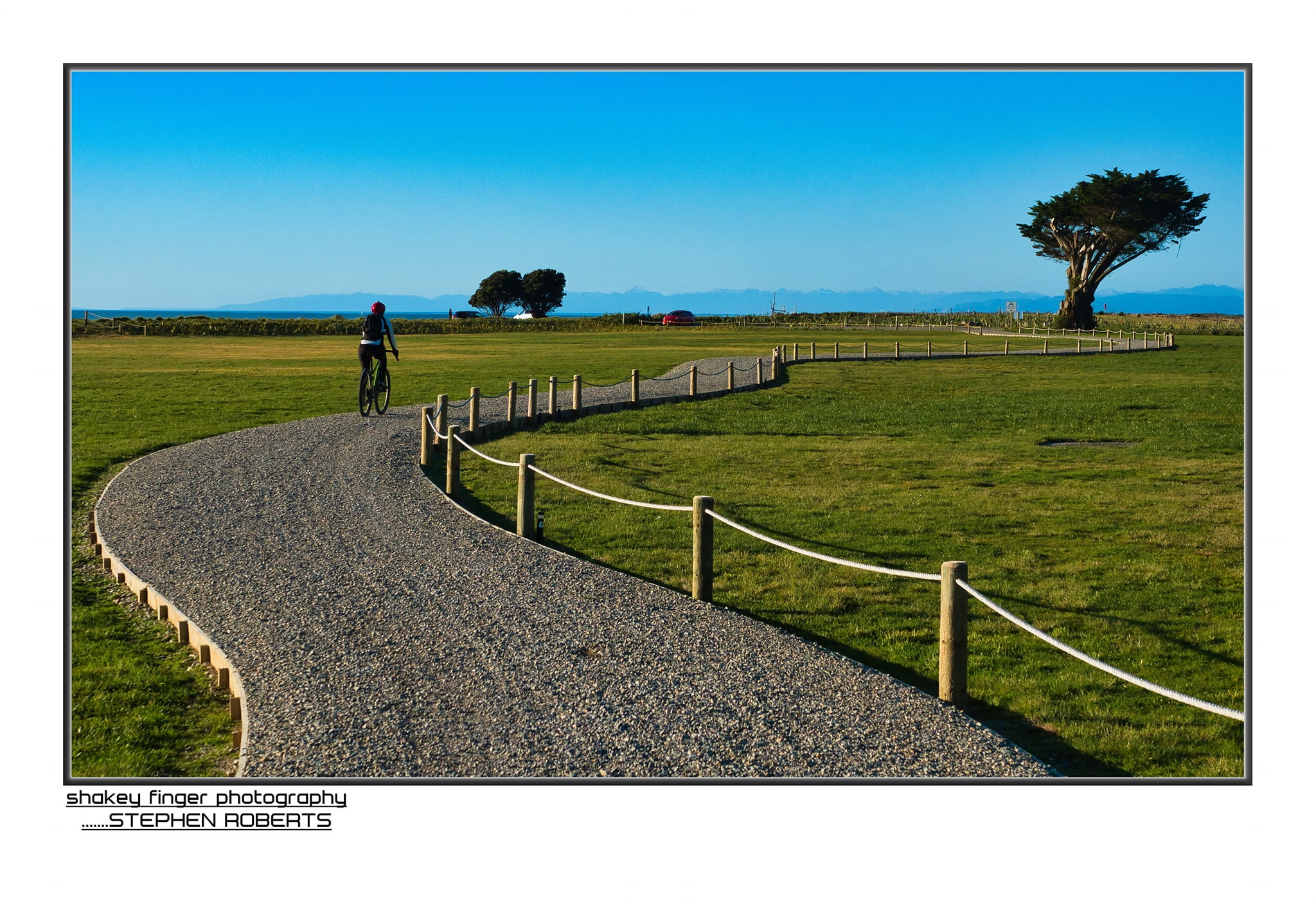
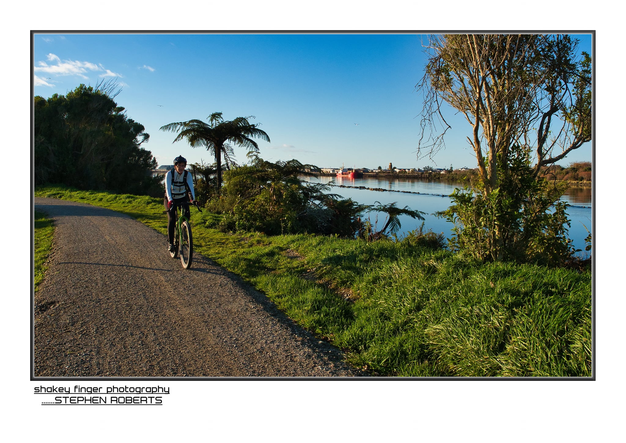
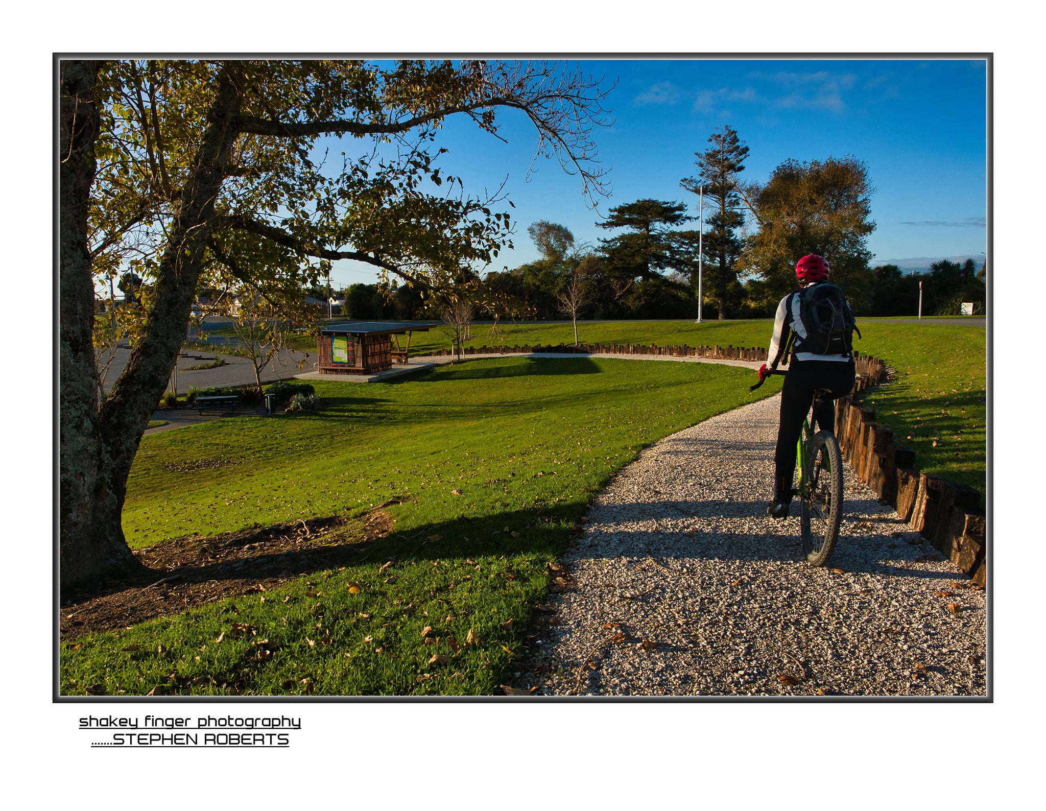
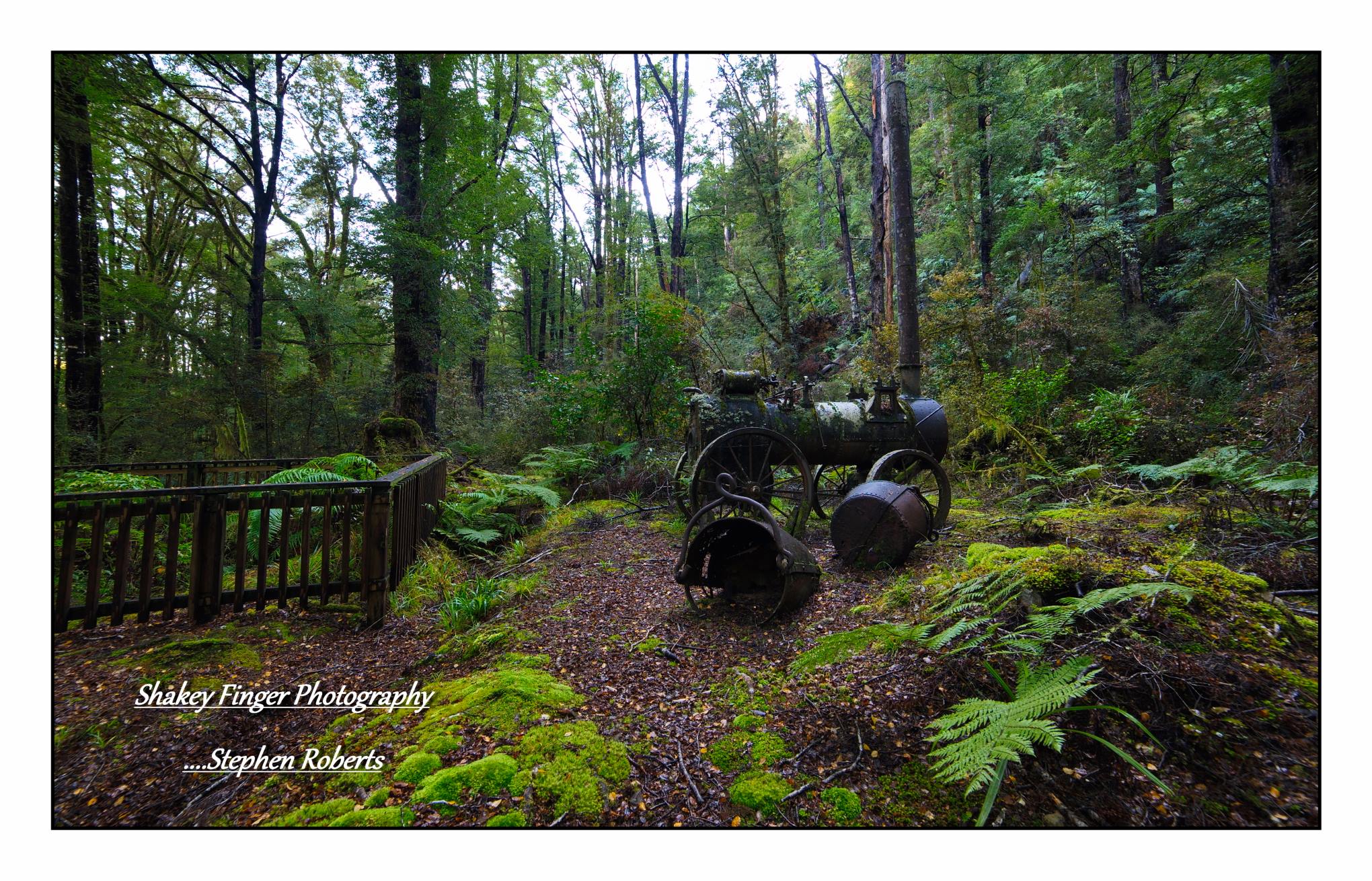
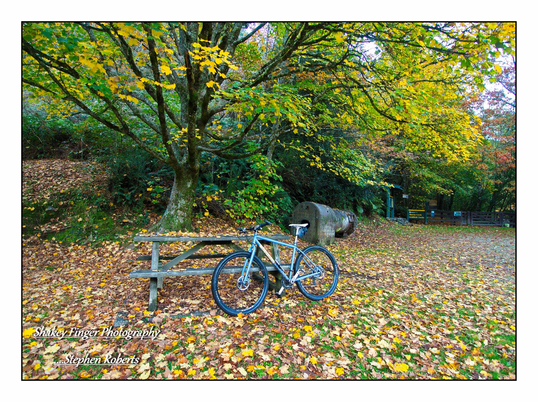
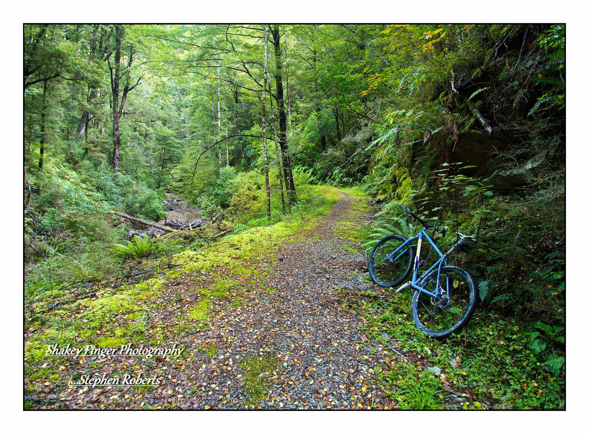
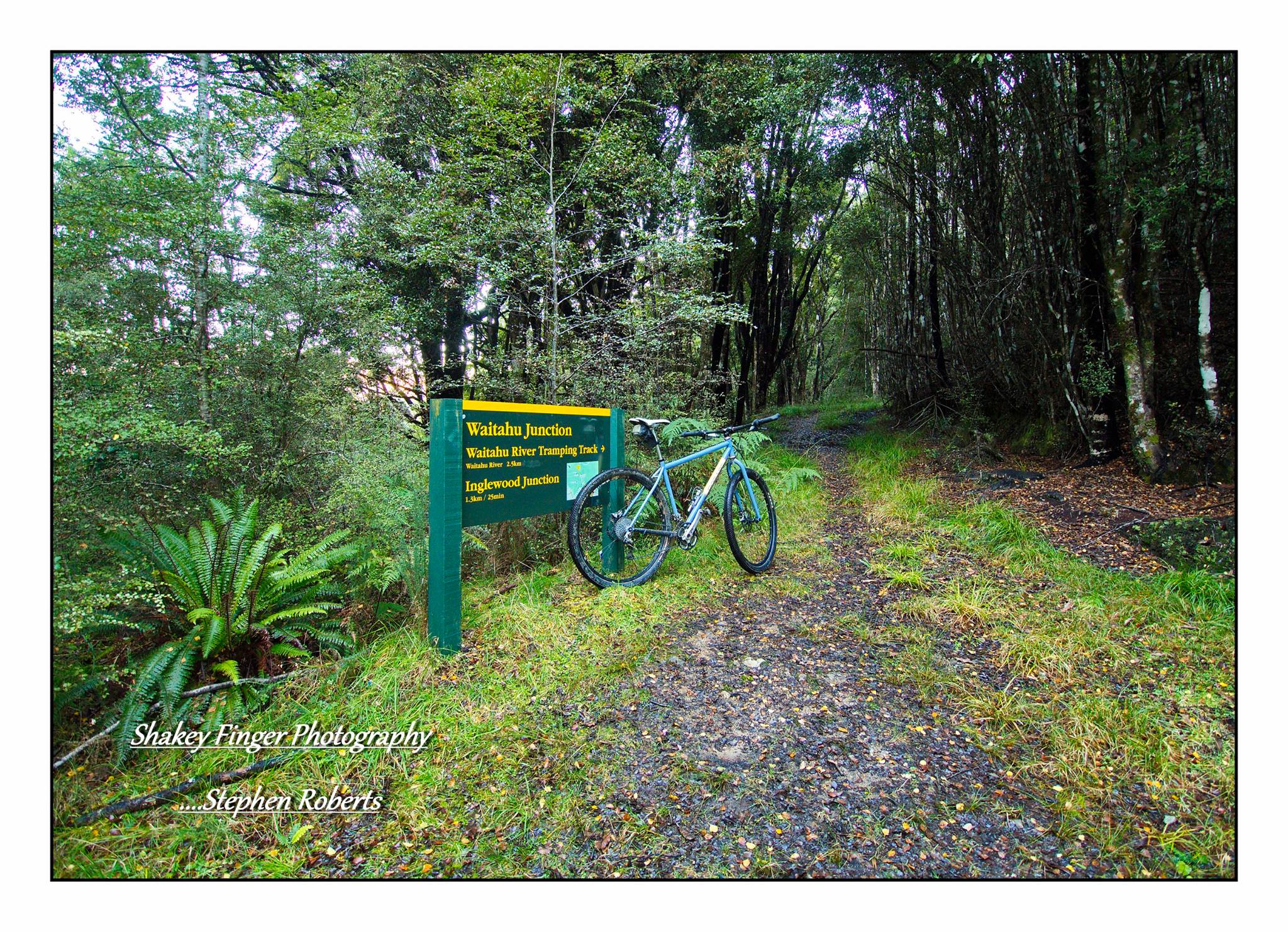
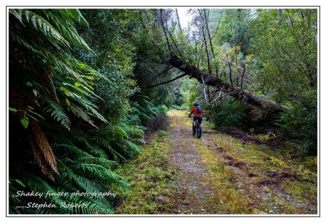
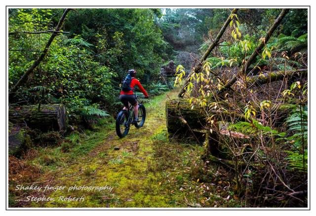
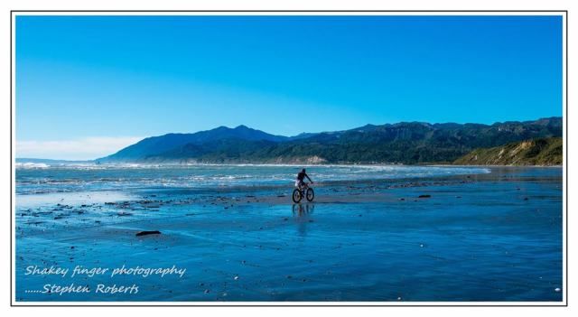
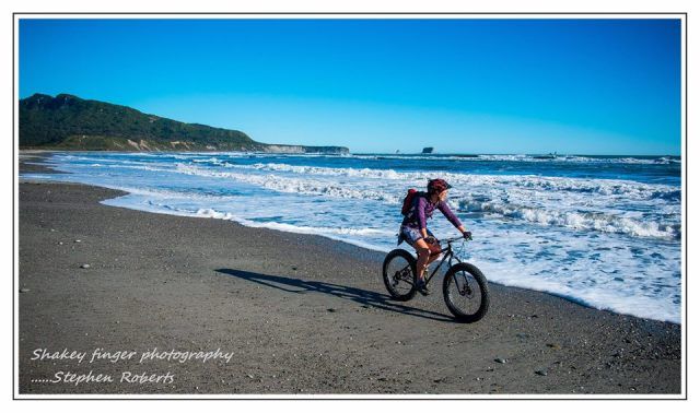
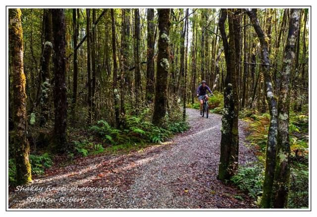
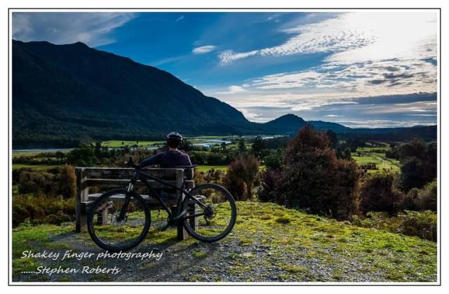
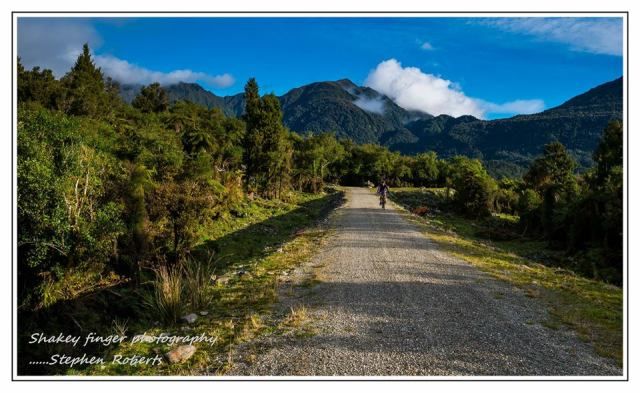
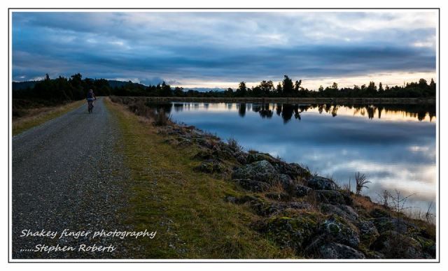
We also hire a mountain bike when we visit.  The roads are generally flat, if you head inland you might find a hill or two but the main outer road is flat the whole way round.  It pretty much follows the lagoon waters too so you get great views and can stop anywhere you like for a cooling dip in the waters.

There are plenty of eateries on the Island – again something for every budget but generally pretty inexpensive.  A popular item on most menus is a fish burger of some sort – think I’m in heaven.  We were lucky enough to be based right across the road from Charlies – a popular eatery with locals and visitors alike (you’ve seriously got to try their fish sandwich).  You can also hire paddle-boards and snorkeling gear here too.  There are other places dotted around the Island so options aplenty.

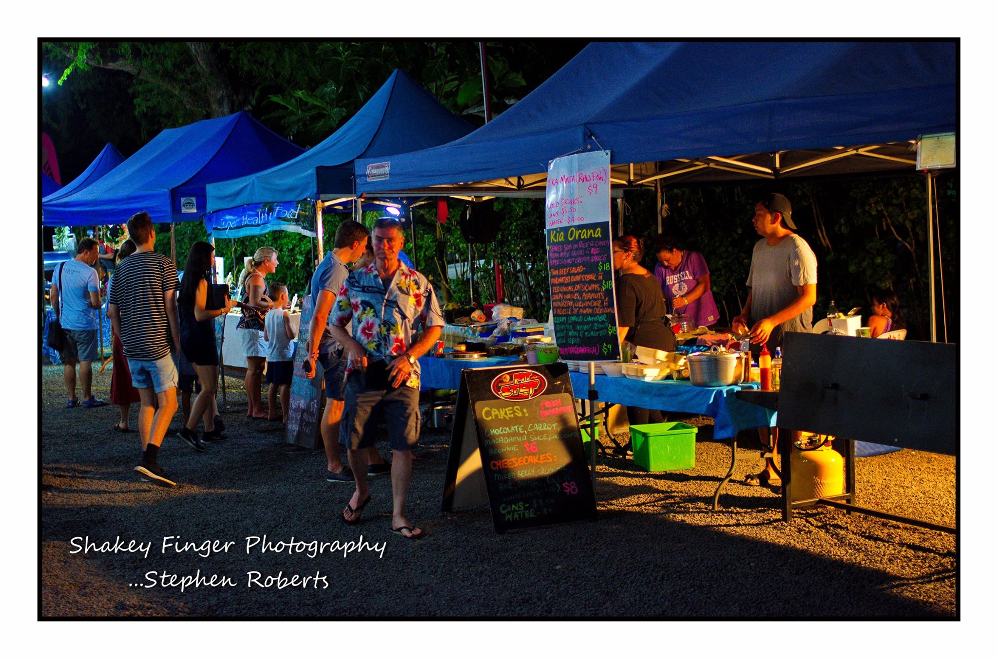
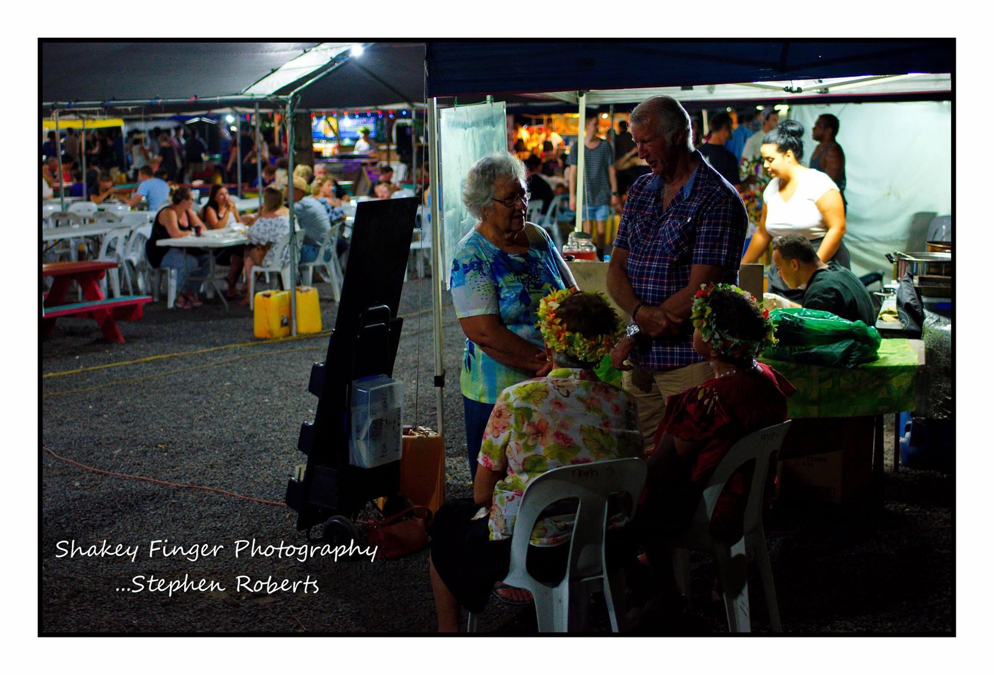
Another must do eating option would be the Muri night markets.  A great selection of local fare often complete with local entertainment.

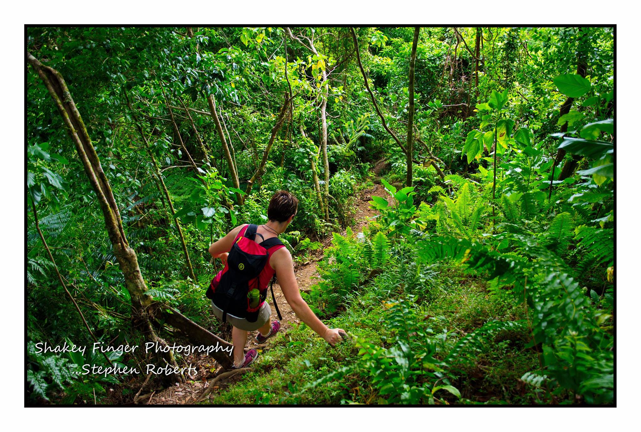
We’re not big into fishing trips, pub crawls, diving, snorkeling, island nights or other tourist based activities.  That’s just us but there are plenty of those options for if you wish.  For us it just about a slow pedal around the island on our bikes or a walk along the beach – or a hike up the Needle.  Personally I think a hike up the Needle is a must do for everyone.  It is portrayed as strenuous but it isn’t really that bad.  Oh sure you will be huffing and puffing and probably taking lots of breaks on the way up but that’s ok, you’re on island time, there is no rush.  It may be super slippery after rain so do take good care – is very tree rooty, so much so in places it’s more like climbing a ladder…. I’m probably not selling it to you so far.  But we get to the top in less than 40 minutes – so take deep breaths and go for it.  The views are worth it – although in saying that follow the signs to head down the other side – but only for five minutes – literally to the top before you start the real descent.

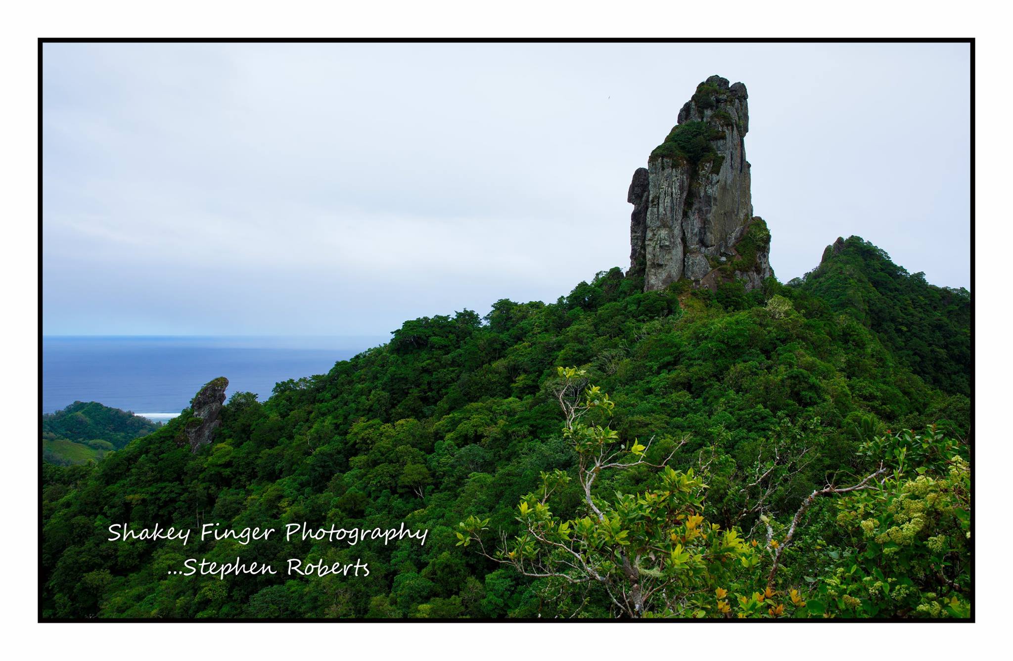
You’ll know where I mean when you get there – there the views really open up for you.  You can carry on down to the waterfall if you want – it is was our plan this year but we’d recently had heavy rain making the ground super slippery and last thing we needed was a visit to the hospital so we played it safe and went back down the way we knew (town side).

So this isn’t our usual “this is what we’ve been up to” blog posting.  This is more an information based blog – hopefully helping you make an informed decision about what to see and do if you visit Rarotonga.  In summary:

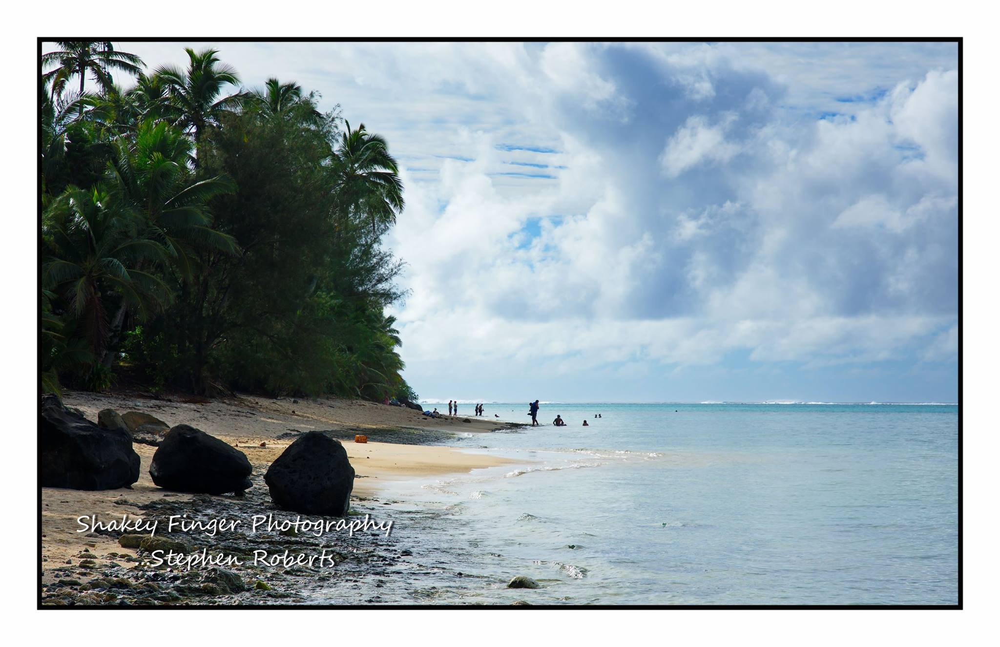
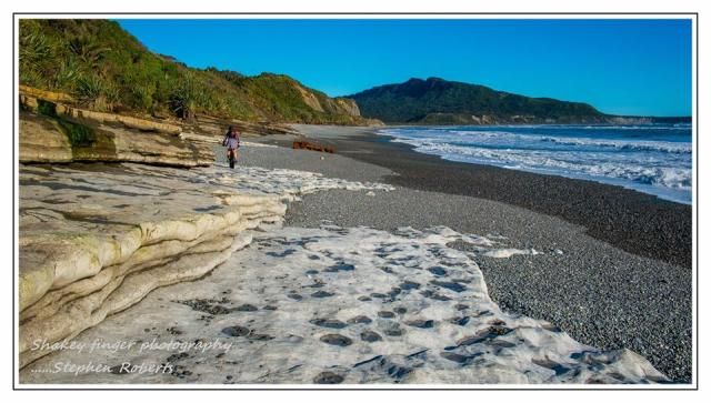
The island is around 32kms round – split into West, North, East and South – easy eh!  West side is sunset side with coral based beaches.  We stayed this side first visit and while loved it for the sunsets didn’t find it the best for swimming as quite windy and a rocky shoreline. North is the more touristy side – home of Muri for all your water sports and main tourist based activities.  Huge amount of accommodation and eateries.  East side for the sunrise and possibly least windy side.  Renown side for snorkeling – the tourist trips all end up bringing their groups out to this side.  South side – possibly least rocky side of island, less touristy/busy but prettier for walking/biking as predominately following water line for duration and best side for swimming.

Accommodation:

Self booking/self catering check out Rentraro.  We’ve always dealt with Eddie and he is super informative and helpful.

Hotels:

West side – Edgewater Resort, Sunset Resort; North side – Club Raro (between town centre and Muri), Pacific Resort – right in the heart of Muri; nothing really more residential and holiday homes with exception Little Polynesian but super expensive – if you can afford it though I’d be going there for sure – what a spot!; South side – The Rarotongan.  If we were going to stay in a hotel style accommodation I’d be opting for The Rarotongan due to its location on the South side of the Island.

There are numerous other options, the above are just a small selection of the main hotels.

Transport:

Hire a scooter but if you have to hire a car…… hire a mini convertible – you might as well look cool!  We use Polynesian Bike Hire for both our scooter and mountain bike rental.

Hire a mountain bike.  We opted for the jumbo bikes – fat tyres and while you’re not doing any off-road as such the roads are in such poor condition for the most part the fat tyres give you more comfort.

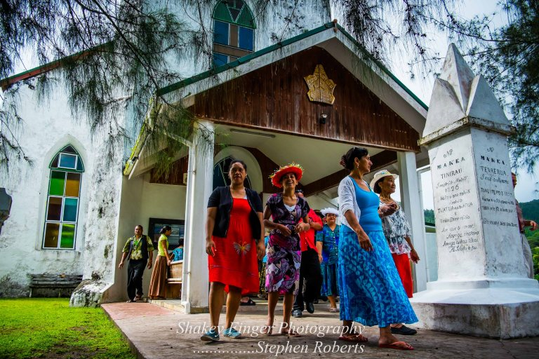
Church – a must do when visiting Rarotonga is attending a Church service.  Aside from beautiful buildings these are wonderful to attend and listen to the locals singing – nothing short of heavenly (I know but it couldn’t be helped).

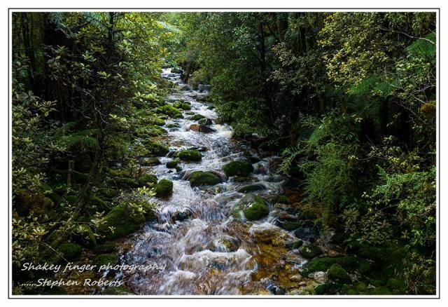
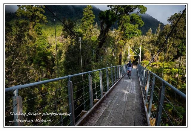
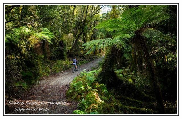
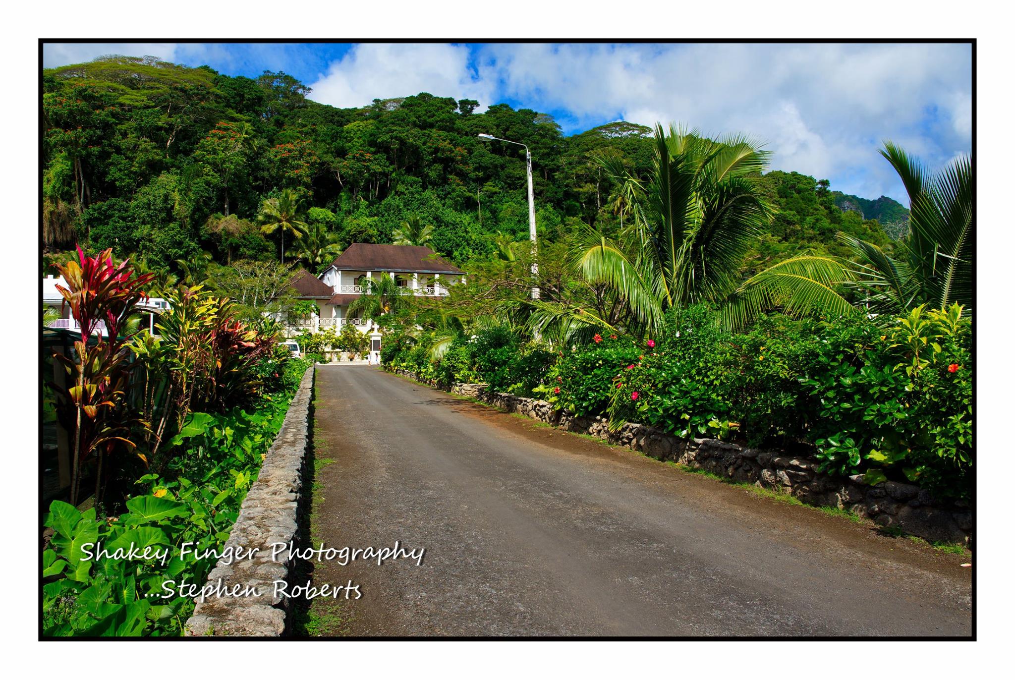
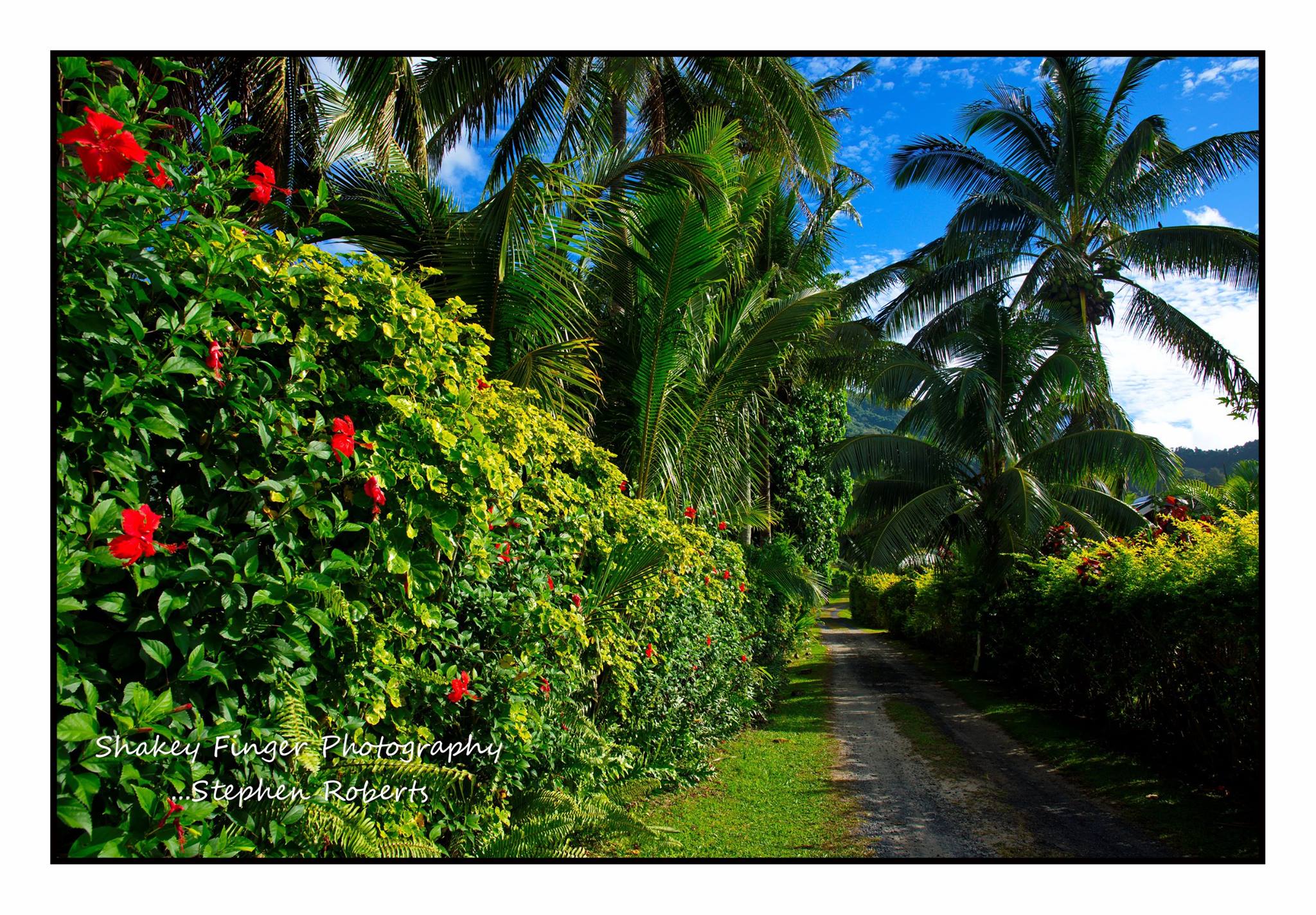
Finally.  Explore – take the inland route, especially round the south side of the island, so lush and green.  Take the little gravel back roads – they usually eventually end up back on the main outer route but you’ll get to see where all the fruit/veges come from, get away from the traffic and can even discover some seriously cool rock-pools ………..

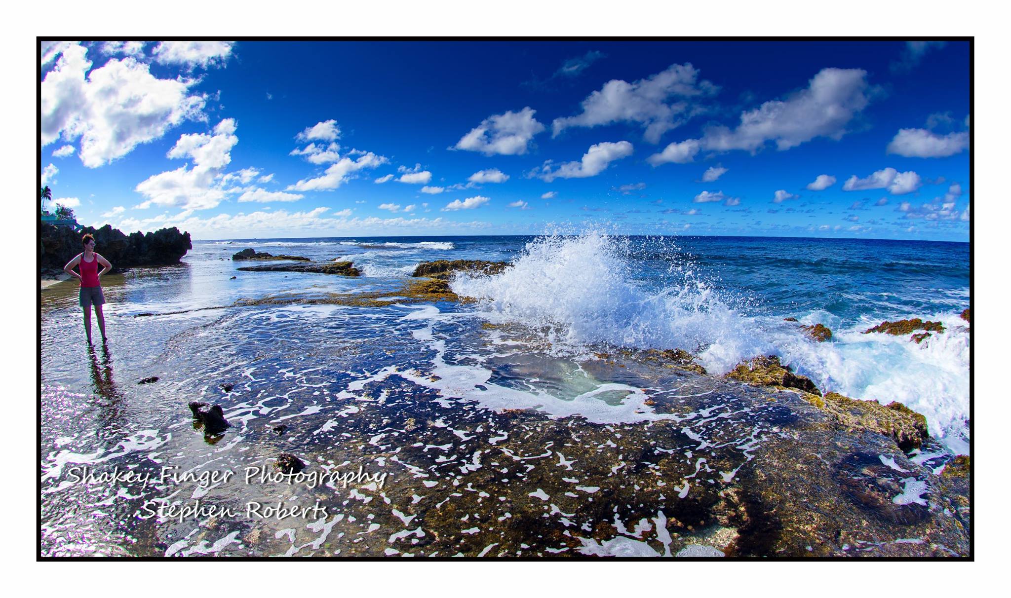
or hidden hideaways to just sit in wonderment.

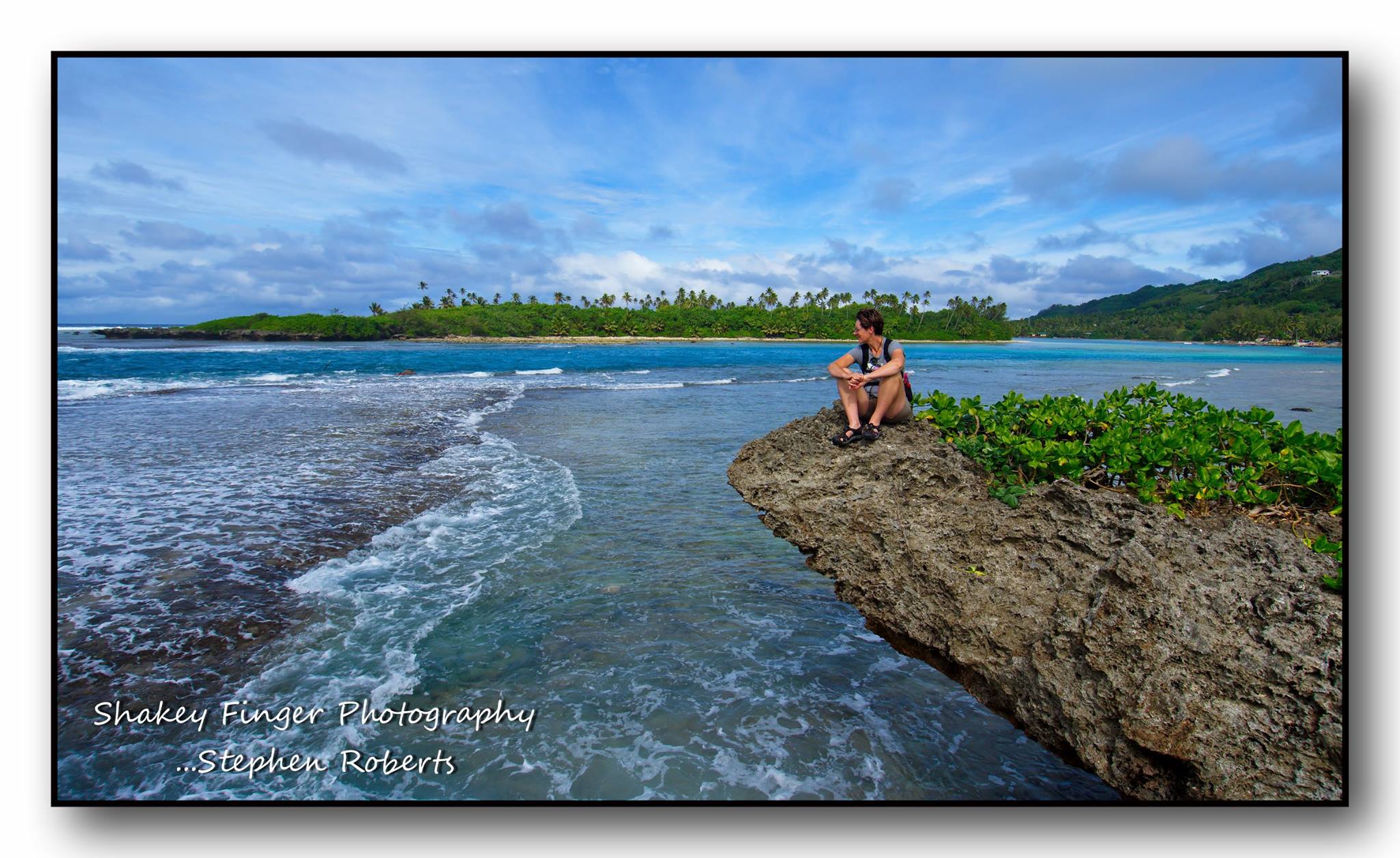
Most importantly – relax, it is the very reason you’ve come here.  Take off your watch, turn off your phone, unplug, get outside, immerse yourself in nature – you will be more connected than ever

Jan and Stephen run Breakers Boutique Accommodation on the Great Coast Road north of Greymouth.  They enjoy sharing their experiences with their guests and helping ensure they make the most of the travels to this part of the world – no matter where the Island paradise…….


Historic Reefton - the Little Big Town

Posted by Jan Roberts on May 16, 2017

The small village of Reefton nestled in the Victoria Forest on the West Coast is immersed in history.  It may be a small village but it is big in every other respect.  So much history it practically oozes from her very being.

Known as the Town of Light, it was the first place in the Southern Hemisphere to generate its own power and have street lighting – beating even some of the posher suburbs of London and New York.  Not only that, it would have to be our favourite little town on the West Coast.

There is so much to see and do in Reefton but it is also a great place to just relax and enjoy the gorgeous scenery.

Relax and enjoy the scenery was the aim of our latest visit.  We purchased a little caravan over the summer and had been dying to try her out.  With a couple of fine days on the cards and no guests we loaded her up and headed up the valley to Reefton.

We couldn’t have asked for better weather – typical Autumn/Winter weather on the West Coast, mostly clear blue skies and glorious sunshine.

There is a great little walk you can do from town – The Bottled Lightning Powerhouse walk, over the swingbridge – a popular swimming spot for locals and visitors alike.  Yes we may have stopped here a few times……

You then continue along the trail following the information boards positioned along the rivers edge leading you to the site of the old powerhouse, giving you all the history regarding what lead to Reefton becoming the first place to have electric lights in 1888.

The Powerhouse walk was our walk of choice for our afternoon stroll with the boys.

Reefton is a town originally born from gold in the mid 1800s – first alluvial and then quartz.  In the early to mid 1900s the industries changed to coal, sawmilling and dairy.

The gold mining history has been embraced through tourism and Reefton has a very proud heritage and you can see that pride with the number of lovingly restored buildings around the township.

The next day we headed further up the valley to check out Larrys Creek track.  We’ve only ever biked this trail in the past and is a short flat fast flowing trail following the river up the valley.  Although the sun was shining, the trail is in the native bush so we were in the shadows of the trees for the duration and I’m happy to say I was prepared with my beanie and puffer jacket – it was a tad chilly.  Walking this trail instead of biking meant we had plenty of time to look up and admire the majesty of the trees towering above us.  We were completely submerged in a forest of green – I couldn’t help but sing to myself I see green, I see green, I see green (fabulous Split Enz song, except they see Red – NZ band for those of you who don’t know, highly recommend googling them).

The Larrys Creek trail meanders close to the river edge but never leaves the bush line.  Eventually it heads up the only little hill to end at the historic Robbie Engine and Duffys Mine.  I think each time we see Robbie he has deteriorated just a little bit more.  Mother nature eventually reclaims what is rightfully hers but we enjoy seeing all the old relics left in the bush and imagining what was.

There are some wonderful hikes and bike rides close to the village of Reefton in particular the Murray’s creek tracks.  After a bite to eat back at the camp site, Stephen headed out on his bike for a quick jaunt up the Murrays Creek track.  It is a nice meander up through the forest following the creek and taking you up the bush line passing lots of mining relics along the way.  I’m sure they were left to remind us the hard work our forefathers endured and giving us a reality check when we are huffing and puffing while out for a leisurely stroll or bike ride.

The Murray’s Creek trails are dual purpose – both hiking or mountain biking and certainly a favourite of ours to explore whenever we are in Reefton.  You can bike straight from town – only around 15 minutes down the road.  There are then options at the top of the trail to either come back down the same way or choose some more technical riding – down to the Waitahu River or deeper into the forest past the Inglewood and Ajax mine sites and back down the Konini Packtrack – right into Reefton.  Options, options – just comes down to time and fitness.

Stephen was on time constraint so he was just doing an up and back.  I in the meantime was spending my time wisely…… relaxing in the sunshine with the dogs and my book.

After a couple of relaxing days it was soon enough it is time to pack up and head for home – back to reality.  Thanks Reefton for our little break away – we will be back!

If you’re heading to the West Coast – make sure you include Reefton in your itinerary – so much to see and do and a wonderful history lesson.

Jan and Stephen run Breakers Boutique Accommodation on the Great Coast Road north of Greymouth.  They enjoy getting out and about and making the most of this wonderful region they call home.


Wheeling Through West Coast Wonderland

Posted by Jan Roberts on September 02, 2016


The Wheels on the bike go round and round, round and round, round and round, wheels on the bike go round and round – oh my gosh forever!  Can’t believe I’m thinking this but I could do with a hill climb about now.  We’re on a section of our ride that is a continual pedal – slight incline and seemingly going on  f o r e v e r.

The ride actually started straight into a series of hill climbs and then my thinking was hills are my friend, hills are my friend.  Funny how our mind-set can change depending on the moment.  Honestly though I would rather grind my way up a proper hill than grind away on a continual gentle incline – without any real respite.  Worse thing to do is of course to look up and see the road going on and on and on before you.


On of the saving graces is it is gorgeous in here – the back-country of Greymouth, following forestry roads and old gold mining claims.  We’re cruising along on our fat bikes – ooohhh I love my fat bike.  I often joke I’m out for ice cream – it is a Surly Ice Cream Truck but it is so cold today, we’re definitely not finishing our ride with an ice cream today. The other saving grace is a slight incline means we are constantly peddling and that is good for warding off the cold.


For the most part of the climb up into the valley we are on a well used gravel road before it then veers out on to a less used forestry road – more like a track these days.  It heads straight into a climb into the forest – this area hasn’t been logged yet.  As such the sun doesn’t penetrate through the trees very much and with a lot of rain of late it was a tad damp in here.  Made the trail fun though as water had been running down the trail creating ruts and making the ride a bit more of a challenge.  Great thing is our fat bikes just roll over everything – did I mention I love my fat bike


I always remember this last section being a fun fast downhill winding down through the trees.  Not so much this time – still fun and insanely beautiful but again due to so much rain of late it was extremely wet and rutted out and there had been much tree fall to so you couldn’t really open up and blast down too much – had to be semi responsible and take some care.


Of course going a little slower makes you appreciate your surroundings and again….. insanely beautiful.  Green as green – almost to the point of not looking real.  Stephen and I often comment that people won’t believe the photos – but honestly it really was this green.

Eventually we pop out of the forest and onto the main valley access road.  This makes it a nice loop track, meandering back along the metal road to meet back with the forestry block where our car was parked. We’re cold, we’re wet and our legs are a little tired but we’re feeling very satisfied – a great ride out in the back country of Greymouth – our West Coast wonderland.


Fat Biking Rapahoe Beach, Great Coast Road

Posted by Website Admin on September 02, 2016

There are lots of great mountain biking opportunities on the West Coast and with the right bike that includes mile after mile of pristine beaches.

What’s that song Freddy sings “fat bottom girls you make this rock’n world go round” – well in this case it is fat bikes!  Stephen and I both have fat bikes and we love them.  We take any excuse to go for a ride on them and they are ideal for exploring the numerous West Coast beaches.


Lucky for us is that many of the accessible beaches are really close to home – one being the Rapahoe beach just a little to the south.  With a quick ride down the main highway we’re soon pedaling along the water’s edge.  From the eight mile to Rapahoe is usually stony but once across the seven mile creek it’s a flat sandy beach into the corner of Point Elizabeth.


A beautiful winter’s day cries out for a fat bike ride on the beach and who are we not to oblige…….


Sun is shining and it feels more like a summer’s day than middle of winter.  The sea almost looking inviting enough to go for a swim – I did say almost.


There are some fun rocky outcrops to muck about on and I want to say test your skill but with the fat bike you just roll over everything….. well just about everything.  Nicely captured hubby!  Actually no human was hurt in the making of this blog – I had actually stopped already and my foot slipped out from under me and… the rock was wet with a coating of slippery sand………. it did – it was!!!!!


West Coast Wilderness Trail - Old Christchurch Road to Cowboys Paradise

Posted by Jan Roberts on September 02, 2016

It sure is nice to be back out on the bike again.  Not much time for riding over our busy summer season so we’ve (yes I do mean I’ve) been trying to get motivated to get some more time in the saddle.


When Stephen suggested taking a drive so we could do an alternative to our normal version of the West Coast Wilderness Trail I was all for it.  Our latest jaunt was to park at the Old Christchurch Road at start of the Kawhaka Water Race and bike out to Cowboys Paradise in the Upper Arahura Valley – and back again of course.


The day wasn’t perfect but was better than forecast – rain was predicted.  It was overcast but not overly cold.  It had rained overnight so the trail was wet in places but we were blessed with patches of blue sky and occasional blasts of sunshine.  Certainly made all the creeks and rivers look super stunning.

To be honest though, when we arrived at the Old Chch Road the last thing I wanted to do was go biking.  I’d developed a pounding headache and to top it off an upset tummy – really, in the short space of a 1/2 hour car ride!  gggrrrrr.  Well we didn’t come all this way only to drive home again so I popped a couple of pills and off we headed.  It was possibly the most uncomfortable 1/2 hour or so of biking I’ve ever done but thankfully the Panadol kicked in eventually and I could start enjoying the ride for what it is – gorgeous West Coast scenery.


It is a stunning trail of contrasts, initially following the Kawhaka Water Race through to the weir where it meets the Kawhaka River.  Here the trail heads through an old logging tram line in the regenerating native Beech forest skirting the edge of the river up into the valley.  Yes I say up – it is a deceptive track in the respect that you think it is a flat meander but it is actually a gradual climb in this direction for the most part.


Eventually the trail meets with the Waitaiki reserve and we enter an ancient Podocarp Forest as it makes its descent down through the forest and over a fantastic swingbridge spanning a deep gorge. Down, down, down complete with “caution steep grade” signage – mmmmm going to have to bike back up this……


After crossing the swingbridge there is a  bit more riding through ancient forest – some of the greenest forest with the trees literally dripping with moss, simply magic.


We round the corner to come to Cowboys Paradise with a bit more forest riding to reach our final destination in the Upper Arahua Valley with an aptly placed bench seat to sit and admire the fabulous views down into the valley below.


A quick snack and time to turn around and do it all in reverse.  We anticipate the ride to be a bit quicker on the way out – since there is more of a meander down than the meander up coming in.  Of course we have to negotiate the winding switchbacks back up from the swingbridge first but that doesn’t end up being as difficult as I thought it would be in my mind.


Soon enough we are zipping our way back along the river’s edge through to the water race and back to the car.  The clouds have all rolled in again but they add some atmosphere to the water race – giving some wonderful late afternoon reflections.  Despite the start, all in all a great afternoon out on the bike and some miles in the legs – got to be good for me!


Â